

8 Ways South Carolinians Give Directions That Leave Visitors Completely Lost

State law gives South Carolina’s 46 counties the final say over what a rural road is called, and almost none of them will touch a name once it’s assigned.
That sounds tidy until you’re the one holding a phone with a blue dot that refuses to move.
South Carolinians grew up navigating by things a map will never show a stranger, and a GPS unit built for street signs doesn’t stand a chance against it.
1. Bridges and Creeks as Turns
Lowcountry backroads in South Carolina cross more tidal creeks than they cross other roads.
The Edisto Island National Scenic Byway, better known to locals as Highway 174, runs 17 miles entirely on Edisto Island, from the bridge that connects the island to the mainland out to Edisto Beach, crossing tidal creek after tidal creek along the way.
Locals count the crossings instead of naming the roads that lead to them.
Turn after the second bridge, they’ll say, or bear right just past the marsh, trusting a stranger to recognize water they drive past every day.
A visitor watching for a street sign instead gets one long, unbroken stretch of oaks and salt grass with no sign anywhere along it.
2. Which Baptist Church, Exactly?
South Carolina’s Baptist churches are hard to use as a single landmark, mainly because there are so many of them.
The South Carolina Baptist Convention counts more than 2,100 member churches statewide.
That count doesn’t even include Methodist, African Methodist Episcopal (AME), Pentecostal, or any other congregation.
Tell someone to turn at “the Baptist church,” and you’ve technically named roughly all of them.
Locals get away with it because they already know which one everybody means.
A visitor doesn’t have that shortcut.
Neither does a GPS.
3. Roads Named for Vanished Buildings
Some South Carolina roads carry a name that no longer matches anything standing on it.
Beaufort County’s Old Sheldon Church Road takes its name from a church that stood roofless again after a fire in February 1865.
It was never rebuilt.
The traditional story blames General William Sherman’s troops on their march through the Lowcountry.
South Carolina’s own historic preservation office replaced the roadside marker in 2013 after research pointed elsewhere: Freedmen likely dismantled the already-gutted building after the war for construction materials, not Union soldiers with torches.
The brick walls have stood roofless behind a line of oaks ever since, a favorite backdrop for weddings and photos, though there’s been no working church on that spot in more than 150 years.
A visitor tracking that name on a map expects a steeple, and at highway speed, broken brick walls screened by oaks don’t read as a church at all.
Many drivers blow straight through the turn looking for a building that was never going to show up.
Why South Carolina Rarely Renames a Road
South Carolina counties almost never rename a road once it’s on the books, even after the building it’s named for is gone.
Every road name feeds directly into the state’s E-911 system, the same list dispatchers and paramedics use to find a house in an emergency.
Renaming one road means issuing a new address for every home and business along it, then re-teaching that system to recognize the change.
Counties treat that cost as a bigger problem than an old name confusing a visitor.
4. Minutes Instead of Miles
About twenty minutes, a South Carolinian will say.
A visitor has no way of knowing yet whether that covers twelve miles or twenty-two.
South Carolina law sets the default speed limit for a two-lane highway at 55 mph unless a posted sign says otherwise.
Many county roads post far lower than that, bending through fields, swamp, and small-town Main Streets with no number in sight for long stretches.
A South Carolinian who drives a route daily skips the math entirely and gives you the time instead.
A visitor who tries converting that answer back into miles is only guessing.
5. Directions Built on Closed Businesses
Bi-Lo hasn’t rung up a South Carolina sale in years.
That hasn’t stopped anybody from using it as a landmark.
Southeastern Grocers dissolved the Bi-Lo banner for good.
Food Lion finished converting or closing the last stores across the Carolinas and Georgia by early 2021.
Bi-Lo started in Greenville back in the 1960s and ran its headquarters out of Mauldin for decades, so many South Carolinians grew up shopping there.
Turn where the Bi-Lo used to be still works as a direction almost anywhere in the Upstate.
The building might be a Food Lion now, or an empty parking lot.
A visitor with no memory of the old grocery store has nothing to check the direction against.
They idle at the wrong shopping center second-guessing every storefront, or they drive straight past the right one because nothing in front of them still says Bi-Lo.
Locals keep calling it by the old name years after the chain closed for good.
6. Crossroads, Not the Address
Rural South Carolina spent years replacing route-and-box numbers with street addresses.
The habit of giving directions the old way never fully caught up.
Counties from Saluda to Newberry to Dillon ran Enhanced 911 addressing projects that swapped postal route-and-box numbers for street numbers, work that in some rural pockets is still catching up.
The new address exists on paper and in the GPS database.
The way people talk about their own road usually doesn’t change with it.
A longtime resident will still send you to “the second dirt road past the water tower” instead of reciting a street number they’ve never once said out loud.
The number’s correct, though almost nobody in the county ever says it out loud.
Psst! How much do you know about South Carolina’s place names? Take our quiz and see how many you can get right.
Quiz
Palmetto Place-Name IQ
Answer these questions on South Carolina town names and landmarks. We bet you can’t get them all right. Prove us wrong?
Legend says early traders believed the town of Ninety Six sat about how many miles from the Cherokee village of Keowee?
7. Two Roads Can Share the Same Name
State law only requires a South Carolina road name to be unique within one county's lines, not against the county next door.
South Carolina's own addressing code spells out the limit plainly: New street names can't duplicate an existing one within the same local government's area, and existing duplicate street names only have to be fixed "as necessary" to keep emergency dispatchers from confusing one road for another.
That leaves room for the same road name to turn up again in the next county over, especially in rural stretches where dirt roads picked up similar names independently, long before anyone standardized them.
A local giving directions by road name alone has no reason to mention which county it's in, since to them there's only one road by that name worth knowing.
A visitor typing that same name into a map app has no such certainty.
A visitor who trusts the nearest match can end up on a same-named road in the next county over, miles from where they meant to turn.
Drivers who don't double-check the town attached to the road can end up circling a stranger's driveway a county away from where they meant to be.
8. Where You're Coming From Matters
South Carolinians tend to build a set of directions around wherever a visitor happens to be starting from, not around a fixed compass point.
Ask someone in a small South Carolina town for directions, and many will ask where you're coming from before they answer.
That turn depends on the answer.
Every time.
Take a right if you're headed toward town only works if you already know which way that is.
A visitor with no starting point in common with the speaker gets a set of directions built for someone else's trip.
South Carolina backroads run on left and right, not north and south.
8 South Carolina Ghost Stories Even Locals Can't Keep Straight
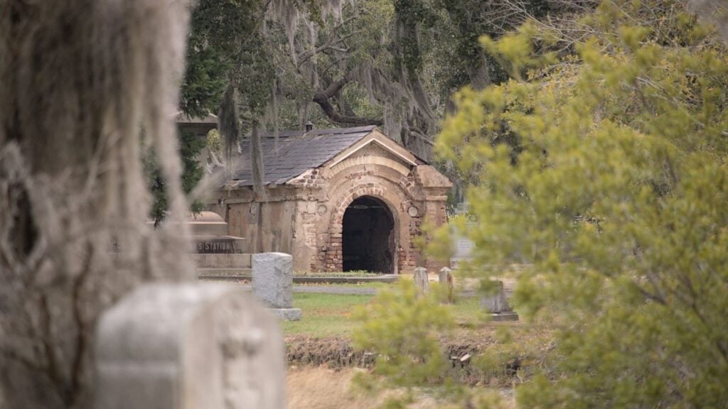
A Charleston tour guide stops the group outside an old jail cell and launches into the same ghost story locals have repeated for generations.
Some of it holds up, and some of it doesn't, so we built a game that checks eight South Carolina ghost stories against the record.
8 South Carolina Ghost Stories Even Locals Can't Keep Straight
9 Arguments Georgians and South Carolinians Will Never Settle
About 300 miles of river separate Georgia from South Carolina, and that river hasn't settled a single argument between the people on either side of it.
From the football field to the barbecue pit, these are the fights that never end.
9 Arguments Georgians and South Carolinians Will Never Settle
