
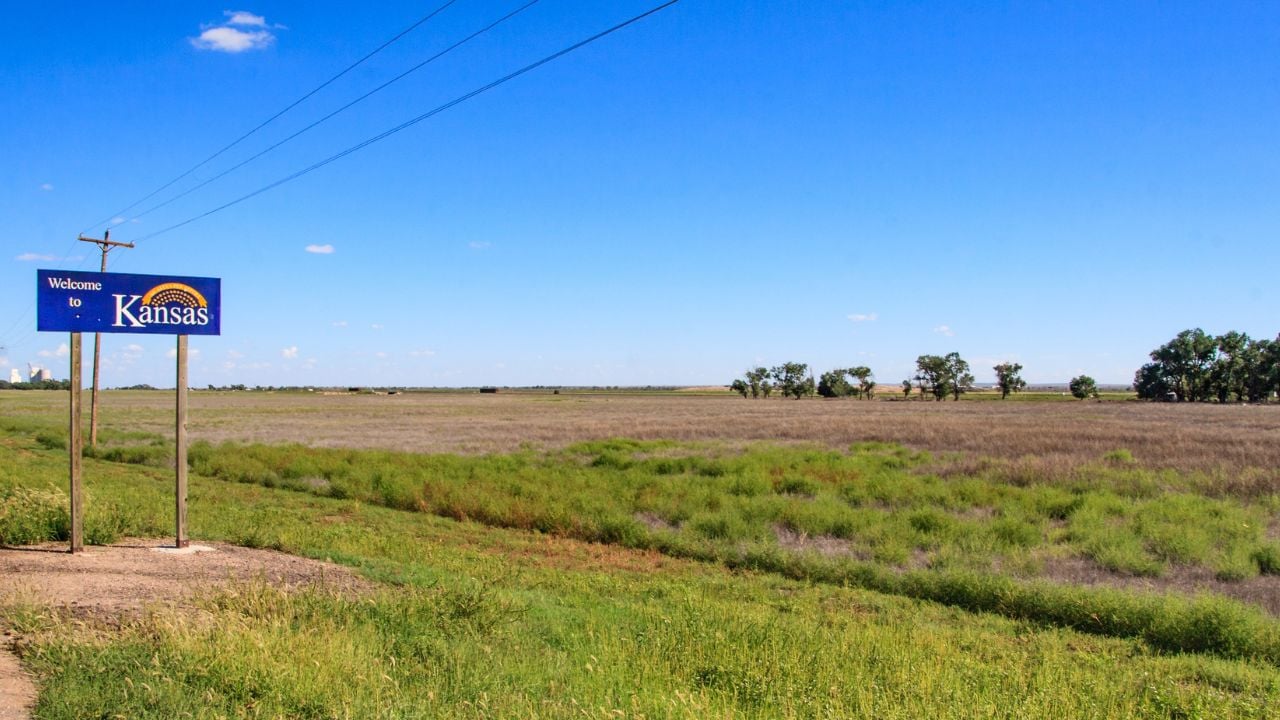
8 Kansas Regions Nobody Can Agree Where to Draw on a Map

The 100th meridian cuts through Dodge City. For nearly 150 years, it marked where the humid East gives way to the arid West.
Researchers tracking decades of weather data put the real line about 140 miles east of it now.
Kansas can’t even agree on the borders that don’t move, let alone that one.
These are the Kansas regions nobody can agree where to draw on a map.
1. Where Western Kansas Begins
Kansas has never marked an official line between its eastern and western halves.
Asking a Kansan to draw one usually says more about where they live than where the state splits.
Someone from the Kansas City area often draws the line just past Lawrence.
Move to Manhattan for K-State, and that same line slides another 80 miles west.
Salina residents push back hardest of all, refusing to grant that a line belongs anywhere near their town, according to a student newspaper account of the divide.
No cartographer settled this.
Kansans just keep moving the line to wherever puts them safely on the eastern side.
2. Flint Hills’ Blurry Edges
The Flint Hills stretch across a wide, uneven band of Kansas, and even the geologists who study them can’t draw one hard line around the whole range.
Most agree the hills run from Marshall County near the Nebraska border down to Cowley County on the Oklahoma line, spilling across roughly a dozen counties in between.
That’s the general shape, not a surveyed edge.
Thin, rocky soil made the region too tough to plow, so ranchers kept it in native grass while farmers turned the prairie around it into cropland.
Nobody could farm it.
Where the cherty soil fades into deeper ground a plow can handle, the hills’ edge depends less on geology and more on whose fence line you’re standing at.
3. 100th Meridian’s Moving Line
The 100th meridian cuts straight through Dodge City, Kansas, and for nearly 150 years it stood as the accepted line where the humid East gives way to the arid West.
Explorer John Wesley Powell mapped that split in 1878.
A historical marker in Dodge City still credits his warning that rainfall below 20 inches a year made farming there unreliable.
Old maps, guidebooks, and that marker still put the line at the 100th.
Climate scientists don’t.
Tracking decades of weather data, researchers have found the actual dividing point has crept roughly 140 miles east, closer to the 98th meridian.
Wetter weather patterns are pushing the boundary toward Wichita.
By that measure, Dodge City itself now sits on the wrong side of its line.
Which one you trust depends on who’s drawing the map.
Kansas’s Historic Line vs. Its Climate Line
The 100th meridian marker in Dodge City hasn’t shifted an inch since crews planted it because a meridian is a fixed line of longitude.
What’s shifted is the 20-inch rainfall threshold Powell used to separate arid from humid.
Researchers tracking decades of weather data now put that threshold closer to the 98th meridian, roughly 140 miles east, about the distance from Dodge City to Wichita.
Old maps and the marker’s text still put the line at the 100th.
Climate data puts it at the 98th.
No Kansas agency has settled on one.
4. Wichita’s Blurred Valley Line
Wichita sits inside a physical region that Kansas’s geological survey admits it can’t cleanly separate from the land next door.
The city spans the Wellington-McPherson Lowlands, a flat stretch of old riverbed sediment surrounding Wichita, Hutchinson, and McPherson.
Right next to it runs the Arkansas River Lowlands, the river’s actual floodplain.
The two regions blend together so completely that the state’s geologists describe the landscape as “largely indistinguishable” from one to the other.
No fence marks it.
Every September, Kansans from every region converge on Hutchinson for the Kansas State Fair.
The fair’s website still calls it the state’s largest gathering of Kansans since 1913, a crowd that topped 300,000 visitors again last year.
Psst! How much do you know about Kansas beyond its dividing lines? Take our quiz and see how many you can get right.
Quiz
Sunflower State IQ
Answer these questions on Kansas history, geography, and firsts. We bet you can’t get them all right. Prove us wrong?
What is Kansas’s official state nickname?
5. Kansas's Two Different Region Maps
Kansas draws its regions two different ways, depending on which state office you ask.
Kansas Tourism splits the state into six travel regions: Northeast, Northwest, Southeast, Southwest, North Central, and South Central.
The Kansas Department of Commerce runs a separate map entirely.
Its economic development side recognizes eight planning districts, including a Flint Hills Regional Council.
Its seven counties run a different footprint than the geological range: They cover the northern reach but leave out southern Flint Hills counties like Butler and Cowley entirely.
Even the name "North Central" changes meaning between the two maps.
Tourism's version stretches to the Nebraska border, while the North Central Regional Planning Commission's 12-county footprint runs a different shape entirely.
Two state agencies, two Kansases.
6. Kansas City Area's Missouri Line
Kansas City's Kansas side doesn't get one regional identity.
The state hands it two, and both cross into Missouri.
The Mid-America Regional Council covers the urban core: Wyandotte, Johnson, Leavenworth, and Miami counties on the Kansas side, joined with five Missouri counties around Kansas City proper.
Farther north, the Mo-Kan Regional Council handles a different stretch of the state line, based across the river in St. Joseph, Missouri.
Neither treats it as Kansas.
Both fold the Kansas side into a bigger, shared picture instead.
7. Spring Hill's Split-County Line
Spring Hill isn't fully in one Kansas county.
Johnson County covers the town's northern half, and Miami County picks up the southern half, so one city sits on both sides of a county line.
Olathe and Spring Hill drew their line on top of that one.
In 2006, the two cities signed an agreement fixing exactly where each could annex new land, so their growth wouldn't collide.
It carried no expiration date, and both cities held to it for 15 years.
Then in March 2021, Spring Hill annexed a piece of land north of that boundary for a commercial project near 175th Street and Highway 169.
Olathe sued, arguing the 2006 agreement still bound the city.
The fight reached the Kansas Supreme Court, which ruled in 2022 that one city council can't tie the hands of every council that follows it.
Spring Hill kept the land.
8. Kansas and Missouri's Disputed River Island
Just upstream from Kansas City, the Missouri River has long marked the line between Kansas and Missouri.
But rivers move.
By the early 1900s, decades of erosion had shifted the channel east of the boundary surveyors drew when Missouri's territory was extended to the river in 1837.
A roughly 400-acre island sat in that gap, and both states claimed it.
Missouri argued its 1837 line should hold no matter where the river wandered afterward.
Kansas argued the river itself was the boundary, wherever it currently ran.
The dispute reached the U.S. Supreme Court in 1909.
The justices sided with Kansas: The state line follows the river's current channel, not a fixed point from a 19th-century survey.
The ruling still applies today, so a strip of riverbank can technically change states as the water erodes its banks.
Nobody re-litigates it until the next island shows up.
10 Things That Only Make Sense to People Who Grew Up in Kansas

A Kansas childhood hands down a stack of facts and habits, the kind that stop making sense the second someone crosses the state line.
Central Kansas still bakes a stuffed yeast roll called a bierock, a recipe Volga German settlers brought to towns like Hays and Victoria in 1876.
Kids grow up knowing exactly what it is.
10 Things That Only Make Sense to People Who Grew Up in Kansas
8 Hy-Vee Etiquette Rules Kansas Shoppers Wish Everyone Followed

A Lenexa Hy-Vee shopper waves at an old coworker and lets go of the cart, and it rolls three parking spaces before anyone notices.
Nobody means any harm at a Kansas Hy-Vee, but the unwritten rules still stand.
8 Hy-Vee Etiquette Rules Kansas Shoppers Wish Everyone Followed
