
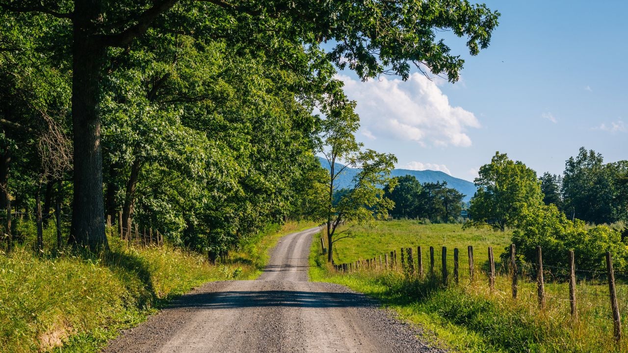
6 West Virginia Back Roads Locals Don’t Want Put on a Map

West Virginia’s Division of Highways maintains more than 34,900 miles of road. It’s one of the largest state-run systems in the country.
The state’s tour guides still cover only a sliver of what’s out there.
These are West Virginia back roads locals don’t want put on a map.
Polemic Run Road
Polemic Run Road branches off the US-19 expressway about a mile north of Birch River in Braxton County.
Right there, the highway carries a steady stream of through-traffic toward Sutton and Summersville.
Almost none of those drivers slow down for the turnoff.
The one-lane road climbs Barnett Hill, then drops through a hemlock forest past an old family cemetery and a scattering of churches.
The route ends at the Little Birch River and connects back to Route 28.
A couple of published road-trip write-ups have found the route and pitched it as a scenic detour.
Families who grew up along Polemic Run Road never treated it that way.
They still use it as the plain, everyday way between Sutton and Summersville, not a destination worth a special trip.
The stream’s name comes from an old word for a rhetorical argument, and nobody’s nailed down why a Braxton County creek carries it.
Shanghai Road
Shanghai Road exists mainly to get hunters and anglers into the 22,928-acre Sleepy Creek Wildlife Management Area in West Virginia’s Eastern Panhandle.
Reaching it means driving south from Berkeley Springs on U.S. Route 522, then following Winchester Grade Road for 12 miles before Shanghai Road even starts.
It isn’t marked for tourists.
The West Virginia Division of Natural Resources built the road to reach hunting grounds and a 205-acre lake stocked with bass, bluegill, crappie, and northern pike.
Its feeder streams, Roaring Run and Meadow Branch, carry a native brook trout population the state brought back after correcting decades of low stream pH.
None of it was built to send anyone on a scenic drive.
Ostenaco Road
Ostenaco Road is the only road running through Panther State Forest, West Virginia’s southernmost state forest, tucked into McDowell County near the Kentucky and Virginia borders.
McDowell County residents paid for the land themselves, raising $9,423.42 in a 1940s “Pennies for Panther” donation drive that Welch Daily News editor Bill Keyser organized.
That’s a lot of pennies.
Local lore says Panther Creek got its name after an early settler killed a panther along its banks.
The state still stocks the creek with trout every season.
No state byway list or scenic-drive guide names Ostenaco Road.
Psst! How ready are you for a West Virginia back-road drive? Run through this checklist and see how many boxes you can check.
Snake Hill Road
Snake Hill Road, marked as County Route 75 north of Dellslow, carries almost no traffic once the pavement runs out between Monongalia and Preston counties.
The West Virginia Division of Natural Resources lists it only as the access route into the 3,142-acre Snake Hill Wildlife Management Area.
No brochure covers Snake Hill Road.
Much of the wildlife management area sits directly across the Cheat River gorge from the overlook at Coopers Rock State Forest.
Thousands of visitors photograph that gorge from the Coopers Rock side every year.
Almost none of them ever cross the river on Snake Hill Road to see the same canyon from the other side.
The road climbs from river level past 2,200 feet through oak-hickory forest before it dead-ends inside the wildlife management area.
No campground marks the end of it, and no tourism map names Snake Hill Road at all.
Forest Road 76
Forest Road 76 runs 16 miles of gravel from the South Fork parking area to Cranberry Campground in the Monongahela National Forest.
The route carries only a number, never a signed name a turn-by-turn app can look up.
A locked gate stops every vehicle cold right there.
Beyond that gate, more than 25 miles of the Cranberry River corridor stay open only to hikers, cyclists, and horseback riders chasing native brook trout.
The U.S. Forest Service keeps the gravel open to vehicles year-round, right up to the gate.
No vehicle gets past that point.
What Makes a Road Officially “Unmapped”
Forest Road 76 climbs from 650 feet along the Cranberry River up to 4,443 feet on Kennison Mountain.
That’s nearly 3,800 feet of elevation change in one stretch of gravel.
The state’s Division of Highways maintains more than 34,900 miles of state-maintained road, according to the Federal Highway Administration’s certified mileage report.
Each numbered state route earns a painted shield and turn-by-turn directions that a mapping app can find.
A Forest Service road or an unmarked county spur usually gets neither, so mapping apps skip it or send drivers the wrong way.
Greenshoal Road
Greenshoal Road, marked as Route 7, follows the lower stretch of Big Ugly Creek through the remote southeastern corner of Lincoln County.
The West Virginia Encyclopedia traces the creek’s name to an early settler who wasn’t much to look at, or maybe just to its crooked path.
Nobody’s settled which story is true.
Today the 5,550-acre Big Ugly Wildlife Management Area draws hunters more than it draws road-trippers.
Greenshoal Road remains the only paved way in near the community of Leet.
Its name never made it onto a single West Virginia road-trip list.
Terrain That Blocks the Cell Signal
West Virginia’s mountains create wide gaps in cell coverage, and every back road on this list drops through one of them.
The Federal Communications Commission tracks mobile coverage on a separate layer from home internet service.
Its mobile coverage map shows entire West Virginia mountain corridors where none of the major carriers predict a signal.
Don’t count on a bar in a hollow, a canyon, or a forest, the kind of terrain these back roads run through for miles.
Past Forest Road 76’s locked gate, the next 25 miles of the Cranberry River corridor carry hikers, cyclists, and anglers with no road under them.
No cell signal reaches that stretch either, all the way through.
