
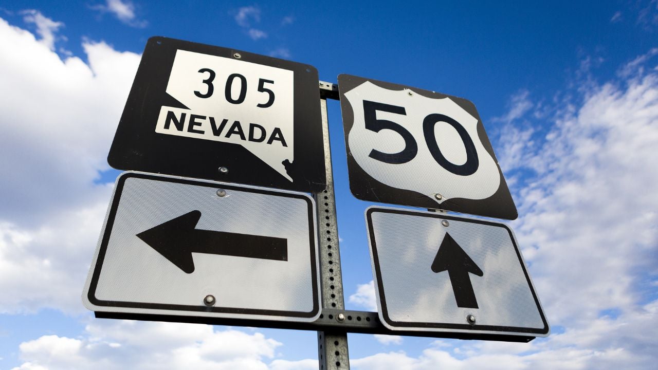
8 Things Nevadans Know About the Loneliest Road in America That Maps Leave Out

On a map, Nevada’s famously empty highway looks like a straight shot with nothing to see.
Nevadans who’ve driven it know there’s more along the way than the long, quiet stretches suggest.
Here’s what to know before you fill your tank and head out.
Note: This is general information, not legal advice. Open range rules and liability are subject to change.
1. Cattle on the Pavement
Nevada’s open range law has a catch for any highway that crosses open range, and livestock can wander onto roads in rural stretches.
Under that law, a livestock owner has no duty to keep an animal off a highway on open range.
If you hit and kill a cow there, you owe the owner for the animal.
That’s the reading in a 2010 guide from the University of Nevada Cooperative Extension.
The cow owes you nothing.
That puts the burden on you to watch for cattle near the road.
What Counts as a Legal Fence
If a property borders open range, Nevada’s open range law sets what counts as a legal fence.
A legal fence needs not less than four horizontal barriers.
It also has to meet spacing and strength standards.
Without a legal fence, an owner generally can’t collect damages when livestock wander onto the land.
2. Long Gaps Between Towns
Across Nevada, Highway 50 runs about 410 miles, with three long jumps between towns.
From Fallon to Austin you cover 110 miles, then 70 more to Eureka and 77 on to Ely.
Austin’s dining options can be limited, so plan to stock up in Fallon or Eureka.
That means about 1.75 hours of driving from Fallon and 1.25 hours from Eureka.
Services are the catch.
Many locals fill the tank before they start the drive.
3. Slogan Born From an Insult
The Loneliest Road in America began as a put-down in Life magazine in July 1986.
The article described the route as having no points of interest.
The American Automobile Association advised drivers against the route at the time, saying there was nothing to see, according to Travel Nevada’s magazine.
The state tourism office embraced the nickname and used it to market the road.
The nickname stuck.
If you drive it today, you’re on a road whose nickname began as a put-down.
4. Passport Stamps
Highway 50 comes with a passport called the Highway 50 Survival Guide, and you can get the passport through Travel Nevada.
The program dates to 1986.
It bills itself as a way to earn road-trip cred, stamp by stamp.
To earn survivor swag, collect stamps in at least five communities along the route.
Towns on the route include Carson City, Fallon, Austin, Eureka, Ely and Baker.
5. Shoe Tree
Along Highway 50, a tree stands 2.4 miles east of Middlegate Station on the north side of the road, covered in shoes.
Thousands of pairs hang from it.
The legend, as Travel Nevada tells it, starts with a newlywed couple arguing on the drive home from a Reno wedding.
The husband threw his bride’s shoes into a tree, and after they made up, they came back every year to toss more.
If you drive east from Middlegate, watch the north side of the road.
Psst! How much do you know about Highway 50? Take our quiz and see if you can ace it.
Quiz
Loneliest Road IQ
Answer nine questions on Highway 50’s towns, trees and dunes. We bet you can’t get them all right. Prove us wrong?
Stokes Castle, a granite tower on the edge of Austin, went up in the 1890s. How long did anyone live in it?
6. Hickison Petroglyphs
You pass the Hickison Petroglyph Recreation Area 24 miles east of Austin on Highway 50.
The Bureau of Land Management (BLM) runs the site, where early Native Americans hunted, drew on rock and lived.
Federal law protects the site's cultural resources against damage, defacement and removal.
Look, but don't touch.
BLM allows camping at the site if you want to stay overnight.
If you stop, hiking and horseback riding are also available.
7. Sand Mountain
If you drive east from Fallon on Highway 50, you reach Sand Mountain after about 25 miles.
BLM calls it the largest single dune in the Great Basin.
It rises about 600 feet.
Riders use it for ATVs, motorcycles and sand rails, with 23 miles of designated trails.
A pass costs $40 for 1 to 7 days or $90 for the year.
Visitation averages 50,000 to 70,000 a year.
The recreation area also takes in the Sand Springs Desert Study Area.
8. Austin's Vanished Boom
Austin looks small on Highway 50, with about 192 people living there.
If you stop, you're in a town that had more than 10,000 residents during its silver rush.
At the time, Austin rivaled Virginia City in wealth and mineral output.
By 1887, ore discovery and production had declined in Austin.
That crowd is gone.
Austin goes by the City of Churches.
A dozen of its buildings are on the National Register of Historic Places.
Pony Express Stops
Highway 50 has a Pony Express past, and Travel Nevada names Middlegate Station and Cold Springs Station as former Pony Express stops.
BLM manages another at Sand Mountain, where you'll find the Sand Springs Pony Express Station historical site.
If you stop in Austin, the Austin Historical Society covers the Pony Express in its local history.
9 Things Nevadans Miss Most After They Move Away
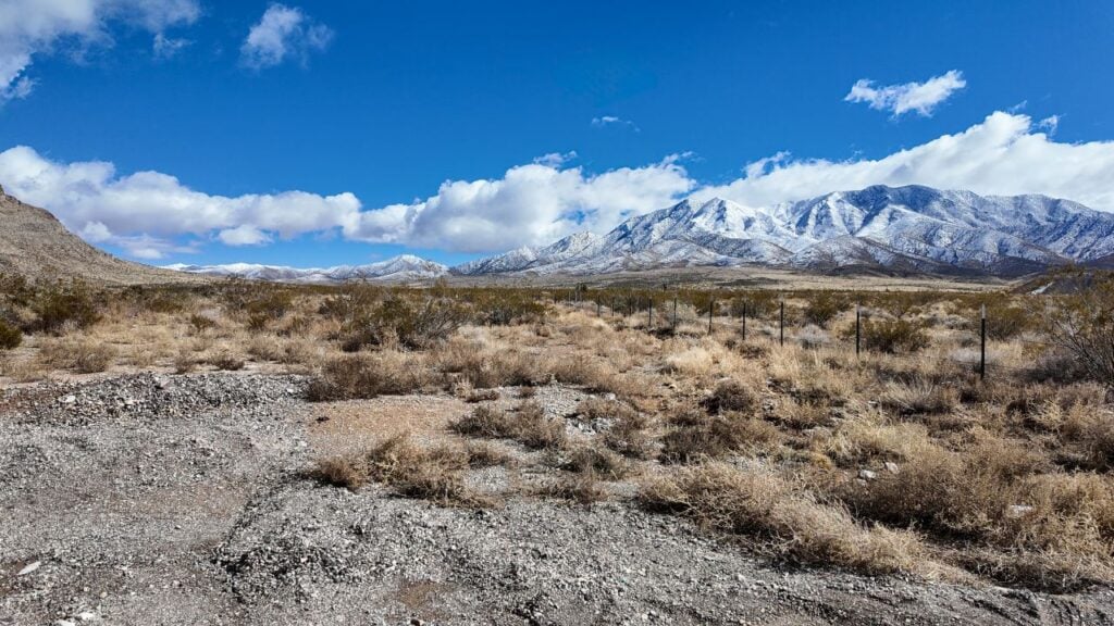
A Nevadan who packs up for another state gets a jolt on their first paycheck.
That's just one of the things Nevadans miss most after they move away.
9 Things Nevadans Miss Most After They Move Away
8 Nevada Ghost Towns That Aren't Worth the Drive
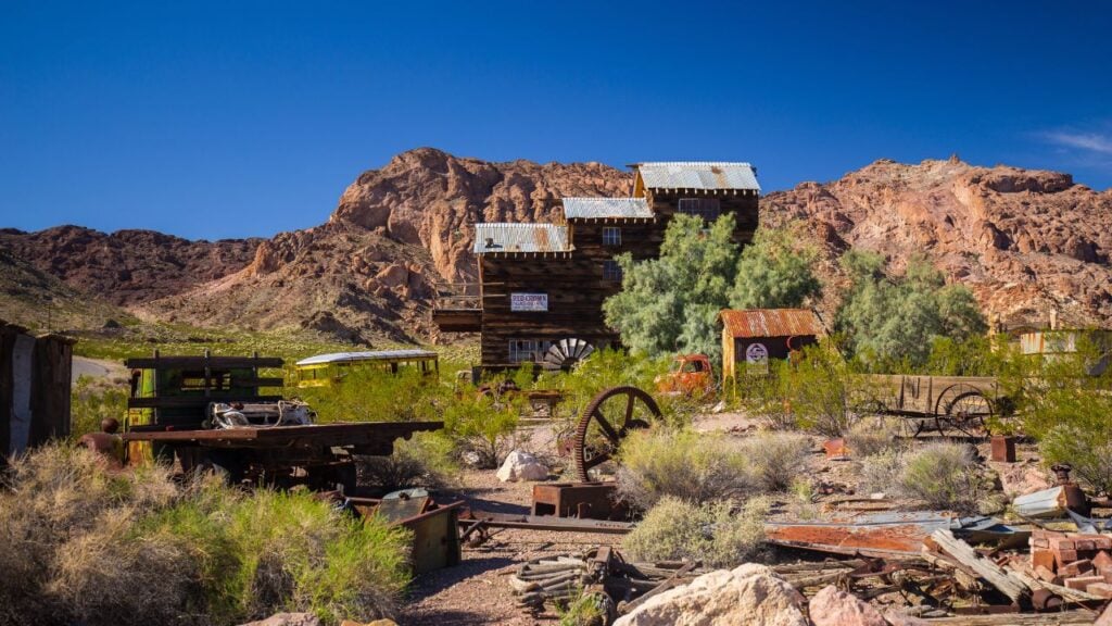
Nevada is full of ghost towns, and not all of them are worth the trip.
These are the ghost towns that aren't worth the drive.
