
7 Things That Split South Dakota Into East River and West River

Cross the Missouri River in South Dakota, and your clock might change, or it might not.
The river splits the state in a lot more ways than time, and each side feels like a different place.
Here’s what splits South Dakota into East River and West River.
1. Rainfall
Rainfall is the first thing that splits the state, since it changes a lot from corner to corner.
A federal climate summary puts precipitation at around 16 inches in the northwest and about 28 inches in the southeast.
That’s a 12-inch gap.
The Black Hills are the exception, where portions of the national forest can get upwards of 70 inches of snow a year.
2. Crops and Cattle
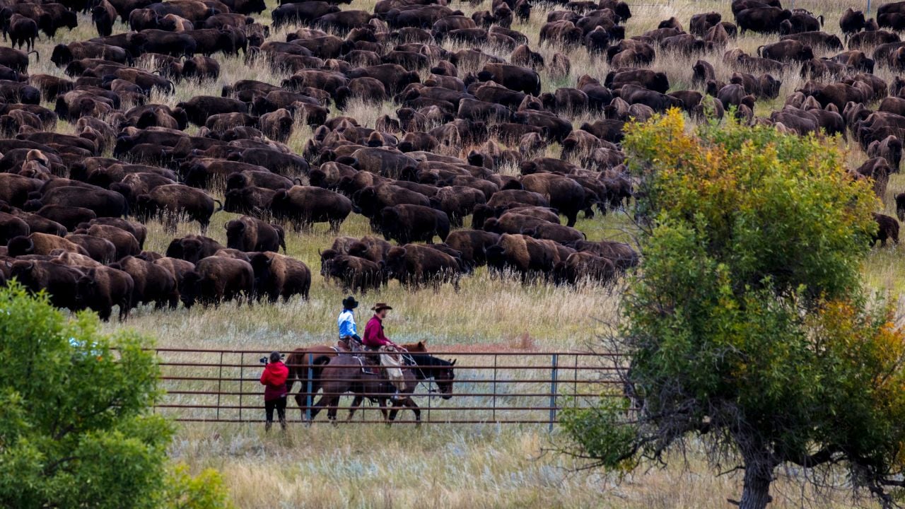
Farming and ranching trade places across the river.
A South Dakota Public Broadcasting (SDPB) history series describes farming in the east and ranching in the west.
The difference comes down to rain, with more of it in the east making crops easier to raise and less of it in the west making cattle more common.
South Dakota State University (SDSU) Extension’s 2026 report says most agricultural land west of the Missouri River is pasture or rangeland.
East of the river, most of it is used for crops.
3. Time Zone Line
The Central and Mountain time zone line follows the river for only part of its run, so your clock and the map can disagree.
Federal rules put it down the main channel of the Missouri River from the North Dakota border to Pierre.
Past Pierre, the line cuts southwest to Jones County.
From there it runs west along the northern edge of Jones County, then south along the western edges of Jones, Mellette and Todd counties.
4. Farmland Prices
Farmland prices split along the river too, according to SDSU Extension’s 2026 survey.
Non-irrigated cropland averaged $1,731 an acre in the Northwest region and $1,850 in the Southwest region, the two regions west of the Missouri River.
In the five regions east of the river, it ran from $5,387 an acre in the North Central region to $10,105 in the East Central region.
Pasture and rangeland told a similar story, at $1,217 in the Northwest and $1,471 in the Southwest, against $2,639 to $4,440 in the eastern regions.
Cash rent for cropland averaged $55 to $57 an acre in the two western regions and $125 to $260 in the eastern ones.
On all three measures, even the cheapest eastern region beat both western regions.
How SDSU Extension Draws the Map
SDSU Extension’s farm real estate survey sorts counties into regions instead of East River and West River.
Its 2026 report puts the Northwest and Southwest regions west of the Missouri River, lists five more east of it, and leaves the South Central region on neither side.
It also had too few responses to form county clusters for the Northwest, Southwest and South Central regions.
5. City Populations
Sioux Falls and Rapid City sit on opposite sides of the Missouri River, and their populations aren’t close.
Sioux Falls, in the east, had 192,517 people in the 2020 census.
Rapid City, in the west, had 74,703.
That means Sioux Falls had more than two and a half times as many people as Rapid City.
6. Reservation Land
The biggest tribal land bases in the state lie west of the river.
South Dakota News Watch’s guide to the state’s nine tribes puts the Oglala Sioux Tribe’s Pine Ridge reservation in the southwest at 1.7 million acres of trusted land, the largest in the guide.
The Cheyenne River Sioux land base, just west of the Missouri River, is next at about 1.4 million acres.
The Sisseton Wahpeton Oyate’s land base in the northeast is around 100,000 acres, and the Yankton Sioux Tribe’s reservation on the eastern bank of the river is about 37,000.
7. National Parks
National parks sit on the western side of the river.
The state’s two national parks are Badlands, in the southwest, and Wind Cave, at Hot Springs.
The east has none.
Psst! How much do you know about the Dakota plains? Take our quiz and see if you can ace it.
Quiz
Dakota Plains IQ
Answer these questions on the counties, tribes and dams of the Dakota plains. We bet you can’t get them all right. Prove us wrong?
In the 2020 census, Harding County covered about 2,671 square miles. How many people lived there?
Barns and Stockyards
East River left marks on the landscape, and the round barn is one of them.
According to the SDPB series, most round barns were built in the East River area.
Livestock left a mark there too, since the trade played a major part in the growth of Sioux Falls and its neighbors.
The Sioux Falls Stockyards ran from 1917 to 2009.
Research in West River
Research at SDSU has leaned toward East River, Agweek reports.
With the main campus in Brookings, most projects there were heavily focused on practices in the eastern half of the state.
The university started farming and research at its West River Research Farm in 2019.
Its West River Research and Extension center in Rapid City now lists 29 projects.
Twenty are at the Cottonwood Field Station, where projects include virtual fencing and remote sensing of rangeland pastures.
The other nine are at the West River Research Farm, including variety trials for wheat, barley, oats and canola.
Missouri River Lakes
The Missouri River that names East River and West River runs through four dam-built lakes.
The four are Lake Oahe, Lake Sharpe, Lake Francis Case and Lewis and Clark Lake.
Lake Oahe is a 231-mile reservoir that runs from Pierre north to Bismarck, North Dakota.
The Bureau of Reclamation calls it the fourth-largest man-made reservoir in the country.
Lake Sharpe, behind Big Bend Dam, has a 200-mile shoreline, while Lake Francis Case, behind Fort Randall Dam, has 150 miles.
Fort Randall Dam also brought a new town, since Pickstown was built to house the workers.
Lewis and Clark Lake, behind Gavins Point Dam, wraps 90 miles of shoreline.
5 Regional Snacks That Only Make Sense at a South Dakota Gas Station

Pull off the interstate in South Dakota, and the snack rack may look different from the one back home.
Here are five regional snacks worth a look.
5 Regional Snacks That Only Make Sense at a South Dakota Gas Station
