
8 Montana Habits That Place Someone East or West of the Divide

Try standing at Triple Divide Peak in Glacier National Park during a rainstorm.
The same cloudburst can end up in the Atlantic Ocean, the Pacific Ocean, or Hudson Bay, depending on where each drop lands.
The Divide splits more than rainwater.
These are the Montana habits that place someone east or west of the Divide.
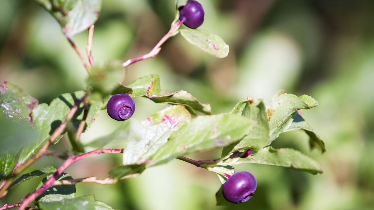
1. Picking Wild Huckleberries
A ripe huckleberry patch means hiking into cool, damp forest, and that forest only grows west of Montana’s Divide.
Sanders County’s Trout Creek has been proclaimed Montana’s official Huckleberry Capital by the state legislature, according to Montana’s tourism office.
It’s earned the name.
The town still throws a Huckleberry Festival every August.
Every roadside stand selling huckleberry pie, jam, or milkshakes along Highway 2 near Glacier National Park sits in that same west-side forest belt.
The open plains that dominate eastern Montana don’t grow the shrub.
Ask an eastern Montanan about huckleberries, and many will tell you the closest patch sits a couple hundred miles off.
2. Bracing for a Chinook
Montana’s Cut Bank, east of the Divide, saw the temperature rise from 1 degree to 30 degrees in about an hour on January 20, 2020.
A chinook wind rolling off the Rocky Mountain Front did it.
That’s not a typo.
Chinooks like that roll through many Januaries east of Montana’s Divide, along the stretch where the Rocky Mountains drop straight into the plains.
That happens because Pacific air rises over the mountains, drops its moisture on the west side, then sinks and warms fast as it pours down the east-facing slopes.
Front Range towns like Cut Bank, Choteau, and Conrad know the drill.
West of the Divide, winters run steadier and wetter, without that same 30-degree swing before breakfast.
3. Following Different Fishing Limits
Montana Fish, Wildlife & Parks (FWP) splits fishing regulations along the Divide, not just the map of the state.
The agency’s Western Fishing District covers all waters west of the Continental Divide, with bag limits and season dates apart from the rest of Montana.
No gray area there.
An angler working the Bitterroot or the Blackfoot follows one rulebook.
Cross east over the Divide to the Madison or the Yellowstone, and a different set of limits applies, printed in a separate section of FWP’s regulations.
Anglers who fish both sides learn to check which rulebook they’re standing in before they wet a line.
What Counts as the Divide
Montana’s Continental Divide is a mapped line tracing the exact ridge where rainfall splits toward the Atlantic Ocean, the Pacific Ocean, and Hudson Bay.
The National Park Service maps that exact split.
A fuzzier “eastern Montana” boundary is still up for debate among longtime residents, but the Divide itself isn’t, according to a 2026 Montana Free Press reader survey.
FWP uses that same line to draw its Western Fishing District, the exact boundary the section above runs on.
4. Cutting Wheat on the Hi-Line
Cascade, Toole, Glacier, Teton, Liberty, Hill, Chouteau, and Pondera counties make up Montana’s Golden Triangle, all of it east of the Divide.
Hard red winter wheat is the defining crop across that stretch, and summer means harvest from Shelby to Great Falls to Havre.
Grain elevators along the Hi-Line mark small towns the way water towers do elsewhere.
Nothing else breaks the horizon.
Harvest dust hangs over combines for weeks at a stretch.
West of the Divide, the mountains and timber take over before a wheat field gets the chance.
5. Filling Crates at a Cherry Orchard
Flathead Lake grows sweet cherries commercially, and that orchard belt sits west of Montana’s Divide.
The lake’s mass moderates the shoreline’s temperature enough to protect blossoms from late frosts, a microclimate the University of Montana credits with keeping the orchards alive at all.
Late July and August turn into a scramble of roadside stands, U-pick orchards, and crates hauled off by the truckload.
A hard freeze can wipe out a season fast.
It happened in 2024.
East of the Divide, that orchard culture never took hold, since nothing on the plains moderates the winter the way Flathead Lake does.
6. Hunting Antelope on Open Range
Montana’s wildlife field guide describes pronghorn antelope as widespread across the state’s eastern and central grasslands and sagebrush, open country where long sightlines let the animals outrun predators.
Dense forest ruins the trick.
So pronghorn hunting stays mostly east of Montana’s Divide, in the open range the animals favor.
West of the Divide, Montana Fish, Wildlife & Parks counted only about 147 pronghorn across the entire region in 2022.
That’s a fraction of the more than 155,000 pronghorn the agency counted statewide the same year.
It’s a long shot.
A hunter west of the Divide can still draw a tag, but the odds run against it.
East of the Divide, a pickup parked beside miles of open range each fall usually means an antelope tag is in someone’s pocket.
7. Losing the Road to Wind
Wind, not snowfall, shuts down roads east of Montana’s Divide many winters.
The Daily Montanan reported wind driving blizzards and power outages across the state in December 2025.
The open plains let gusts pack loose snow into whiteout ground blizzards that can close a highway with barely an inch on the ground.
Drivers there learn to watch the wind forecast as closely as the snow forecast.
Snow alone won’t cut it.
West of the Divide, the danger runs the opposite direction.
Mountain passes there close for avalanche control and heavy snowpack instead, the kind of closures Montana Public Radio has covered on routes through the state’s western highways.
Psst! How much do you know about Montana? Take our quiz and see if you can ace it.
Quiz
Montana IQ
Answer these questions on Montana history and geography. We bet you can’t get them all right. Prove us wrong?
In November 2016, about 10,000 snow geese landed on Butte’s Berkeley Pit. What happened?
8. Driving Hours for Groceries
The mountains squeeze towns into narrow valleys west of the Divide, while the open plains to the east let ranches spread for miles between neighbors.
Garfield County holds about 1,173 people across 4,675 square miles, a quarter of a person per square mile.
Jordan is the only town in the whole county.
A two-hour round trip for groceries barely raises an eyebrow out there.
Distance is just Tuesday.
West of the Divide, the Bitterroot Valley's Ravalli County packs roughly 48,600 people into 2,391 square miles, about 20 people per square mile.
Hamilton, Stevensville, and Missoula sit close enough together that a grocery run rarely eats up an entire afternoon.
Ranchers east of the Divide plan a Costco run the way other people plan a vacation.
Some stack it onto a trip to Billings that eats up half a day either way, and nobody out there calls that a hardship.
