
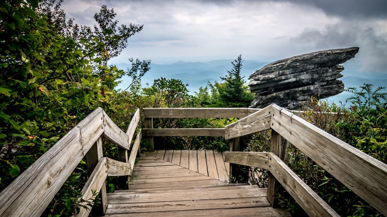
9 Reasons Virginians Say Tourists See the Blue Ridge Parkway All Wrong

A driver eases onto the Blue Ridge Parkway at Rockfish Gap, sets the cruise control, and expects the same conveniences as every other highway in Virginia.
That expectation gets tested fast.
This is what Virginians wish every tourist knew before merging onto the Blue Ridge Parkway.
1. The Parkway Isn’t a Shortcut
More than 16 million people drove some stretch of the Blue Ridge Parkway last year, and many treat the map’s straight mountain line like a shortcut between two towns.
It isn’t one.
The Parkway carries a 45 mph speed limit for most of its length, but Virginia’s own developed areas, Humpback Rocks, the James River Corridor, Peaks of Otter, and the Mabry Mill area among them, drop to 35 mph.
Some curves make even that lower limit feel generous.
Commercial trucks and buses can’t use the roadway at all, so a driver never gets stuck behind an eighteen-wheeler on the climbs.
They also never get a straightaway long enough to make up the time.
A phone’s map app calculates the trip the same way it would any road posted at 45 mph.
The math comes out wrong every time.
Virginians build an extra hour into any Parkway drive past 50 miles, and tourists who trust the little blue arrow show up late for dinner in Floyd or Roanoke.
2. Your Signal Disappears
Your phone works fine at the first overlook on the Blue Ridge Parkway, and a lot of visitors never think about it again.
They should.
Long stretches of the route run with no cell signal at all, especially through Virginia’s deeper valleys and gaps.
A downloaded map means nothing once the search results and turn-by-turn voice stop refreshing.
So does a call for help.
Drivers who know the road keep a paper map or an offline map saved on their phone, not out of nostalgia, but because service can vanish for 20 miles at a stretch.
Tourists find that out somewhere past the first overlook, phone in hand, bars gone.
3. Gas Isn’t Waiting Down the Road
The Blue Ridge Parkway doesn’t carry a single gas station along its own right-of-way, in Virginia or anywhere else on its 469 miles.
Fuel sits off the road entirely, down access highways at marked exits.
Virginia’s longest gap between those exits runs almost 30 miles, and that’s before a driver even turns off toward the pump.
A quarter tank feels like plenty on a normal highway.
Not on this road.
Virginians top off before they turn onto the Parkway out of habit, the way someone else might check tire pressure before a long trip.
Tourists who assume a gas station sits around the next overlook learn otherwise with the needle already near empty.
Where the Parkway’s Longest Fuel Gap Sits
Virginia’s widest fuel gap on the Blue Ridge Parkway runs from around milepost 135.9, at Adney Gap where the Parkway meets U.S. 221, to milepost 165.3, near Rocky Knob, with no marked pump in between.
Averaging 45 mph across that stretch, the gap alone can eat close to an hour before a driver even reaches the exit toward a station.
Virginians treat a quarter tank as the trigger to leave the Parkway at the next marked exit, not the moment the warning light comes on.
4. Skyline Drive Isn’t the Same Road
Skyline Drive and the Blue Ridge Parkway blur together for a lot of first-time visitors, and Virginians hear the mix-up constantly.
One of them charges you.
Skyline Drive sits inside Shenandoah National Park and charges a $30 vehicle entrance fee, good for seven days.
The Blue Ridge Parkway charges nothing, ever, for any vehicle.
The two roads meet at Rockfish Gap near Waynesboro, where Skyline Drive ends and the free Parkway picks up the ridge line heading south.
A driver who buys a Shenandoah pass expecting it to cover the whole trip finds out at Rockfish Gap that they already paid for a road they’re about to leave.
5. Milepost 0 Sits in the North
The Blue Ridge Parkway’s mile markers confuse tourists who assume the numbers rise the way interstate exit numbers do, counting up toward a destination ahead.
Many guess backward.
Milepost 0 sits at Rockfish Gap, near Waynesboro, at the Parkway’s northern end.
The numbers count up heading south from there, so a low number means close to Shenandoah, not close to North Carolina.
A tourist looking for a milepost far down the list who turns north instead of south adds hours to a day that didn’t need them.
Virginians read the mileposts like a compass without thinking twice, low numbers north, high numbers south, the whole state in between.
6. Virginia Only Claims One Tunnel
Tourists treat Virginia’s stretch of the Blue Ridge Parkway like the low-clearance nightmare they read about in camper and motorhome forums, and that reputation belongs somewhere else.
The Parkway has 26 tunnels in total.
Almost none sit in Virginia.
Twenty-five of them sit across the North Carolina line, and Virginia holds exactly one, Bluff Mountain Tunnel at milepost 53.1, with just over 13 feet of clearance at the edge line.
A camper or a rooftop carrier that clears Bluff Mountain clears every tunnel Virginia has to offer.
Tourists who spend the drive white-knuckling every upcoming overpass are worrying about a state they haven’t reached yet.
7. Fall Color Doesn’t Peak on One Weekend
Virginia’s Blue Ridge Parkway doesn’t turn color all at once, no matter what a single “leaf peak weekend” post promises online.
Elevation is why.
Near Apple Orchard Mountain, the Parkway climbs past 3,900 feet, Virginia’s highest point on the road, and color there often turns in early October.
Just 13 miles away, the James River Visitor Center sits close to 650 feet, the lowest point on the entire Parkway.
Color doesn’t arrive there until weeks later.
Virginians plan more than one drive across October and into November, chasing the color down the mountain as it moves.
A single “peak weekend” only ever catches one elevation’s version of fall.
8. Mabry Mill’s Restaurant and Shop Sit Closed
Mabry Mill, the Blue Ridge Parkway’s most photographed stop, hasn’t served a restaurant meal or sold a bag of cornmeal since 2023.
The mill itself stayed open.
A previous concessionaire walked away that year, and the National Park Service just signed a new ten-year contract with a different operator to run the restaurant and gift shop.
That operator is renovating through the year and plans to reopen food and retail service in spring 2027.
The gristmill, sawmill, and blacksmith shop across the site stay open for walking tours the entire time, with a freshly rebuilt roof and water wheel finished this year.
A tourist who snaps the classic photo from the parking area and drives off never learns the mill isn’t selling anything today.
9. Bears Own the Roadside Too
Virginia’s black bear population has grown to somewhere between 18,000 and 20,000 animals statewide, and the Blue Ridge Parkway cuts straight through some of the best habitat they have.
Tourists picture a bear sighting as a rare, once-in-a-lifetime event.
That’s not rare at all.
Virginians who live near the ridge line know a bear ambling along the shoulder is closer to routine than remarkable, especially between April and November.
Federal rules require visitors to stay at least 50 yards back from any bear on the Parkway, and getting closer, or feeding one, can bring a fine running into the thousands of dollars.
Virginians never leave food unattended at an overlook picnic table for even a minute because a fed bear rarely lives long enough to become an old bear.
Psst! How much do you know about the Blue Ridge Parkway’s history? Take our quiz and see how many you can get right.
Quiz
Blue Ridge Parkway IQ
Answer these questions on the Parkway’s history, construction, and Virginia mountain culture. We bet you can’t get them all right. Prove us wrong?
Construction on the Blue Ridge Parkway began in what year?
Rocky Knob Beats the Crowd
Mabry Mill isn't the only worthwhile stop on Virginia's stretch of the Blue Ridge Parkway, and Rocky Knob draws a fraction of its crowd.
The overlooks rival it.
A few miles up the Parkway, near milepost 168, Rocky Knob holds a cluster of overlooks: The Saddle, Rock Castle Gorge, and 12 O'Clock Knob, all within a short walk of each other.
The Rock Castle Gorge Trail drops more than 1,800 feet across its 10.8-mile loop, for hikers who want more than a photo from the guardrail.
Rocky Knob's parking areas often stay open when Mabry Mill's lot backs up onto the roadway during peak leaf season.
Anyone chasing an empty overlook over a crowded one finds it here instead.
8 Vanishing Diner Foods Virginians Still Talk About
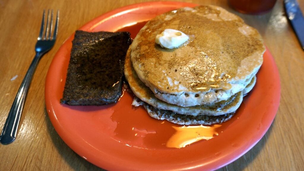
The stools at Skeeter's in Wytheville have held Virginians since 1925, and the chili recipe hasn't budged since.
The rest of the menu at diners and lunch counters across the state has thinned out around it, from the coast to the coalfields.
8 Vanishing Diner Foods Virginians Still Talk About
9 Virginia Property Line Disputes That Turn Neighbors Into Enemies

Think a fence marks exactly where a Virginia yard ends?
A basic boundary survey runs $1,200 to $5,500, and that's sometimes the easy part once neighbors start arguing over the stake.
9 Virginia Property Line Disputes That Turn Neighbors Into Enemies
