
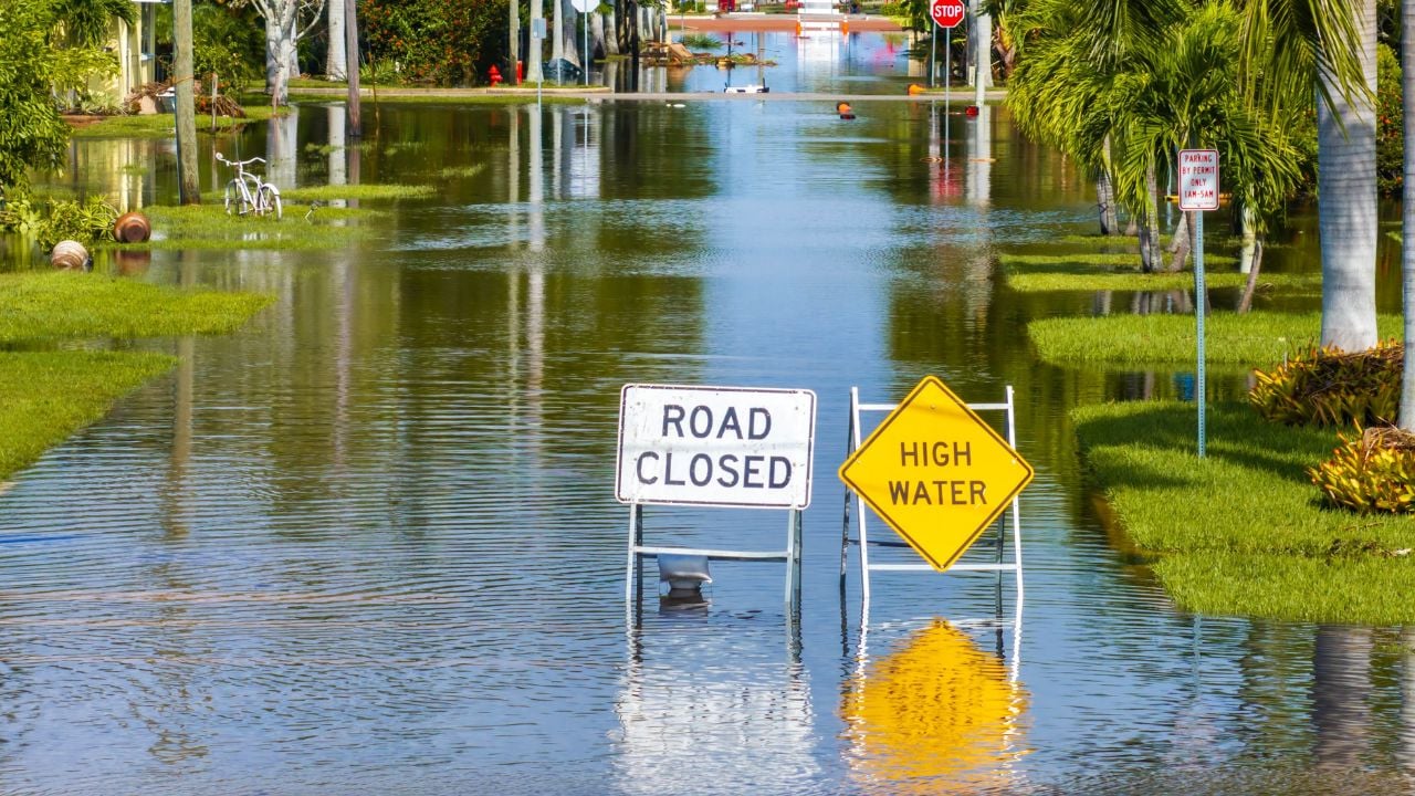
10 Gulf Coast Cities Where the Sea Level Is Rising Fastest. Half Are in Florida

Map out the fastest-rising stretches of American coastline, and many of them curve around the Gulf of Mexico.
That’s only half the issue.
The ground under some of these cities is sinking while the water rises, which stacks two problems on top of each other.
These are the Gulf Coast cities where the sea level is rising fastest, with Florida suffering the most.
How the Ranking Was Built
This ranking isn’t a matter of opinion.
It rests on one federal dataset: The National Oceanic and Atmospheric Administration (NOAA) runs a network of tide gauges along the Gulf Coast and beyond.
At each station, NOAA has been measuring the water for decades and publishes a long-term sea level trend, in millimeters a year.
That trend is the slope of the whole record, not one stormy season.
Some of these gauges have run for a century or more.
NOAA requires roughly 30 years of readings before it trusts a station’s number.
The ranking comes down to one detail: NOAA tracks relative sea level. So, a city where the ground is sinking reads higher than a city where only the sea is rising.
To build this list, we lined up NOAA’s Gulf Coast stations data and sorted them by the Gulf Coast cities where sea levels are rising the fastest.
1. Grand Isle, Louisiana
Sea level rise shows up at Grand Isle about as fast as anywhere on the U.S. mainland.
The gauge on this barrier island reads 9.13 millimeters a year, close to three feet per century.
That’s the steepest number here.
Louisiana’s only inhabited barrier island sits at the end of Louisiana Highway 1, where the marsh is sinking as fast as the water is rising.
Both things push the same way.
Shrimp boats still run out of the harbor, but big storms keep stripping sand off the beach the town depends on.
2. Galveston, Texas
At Galveston, the Pier 21 gauge has clocked the Gulf rising 6.63 millimeters a year, second only to Grand Isle.
The city rebuilt behind a seawall after the 1900 hurricane killed thousands, then raised the whole island with sand.
It’s still sinking.
Decades of pumping groundwater and oil pulled the land down, so the sea reads even higher at Galveston than warming alone would explain.
3. Rockport, Texas
Rockport, down on the Texas Coastal Bend, posts a sea level rise rate nearly as steep as Galveston’s.
The gauge on Aransas Bay reads 6.04 millimeters a year.
That land sits low, too.
This is oyster and redfish country, a town of fishing guides, shrimp boats, and wind-bent live oaks.
Hurricane Harvey came ashore right at Rockport in 2017 and flattened much of it.
The town rebuilt slowly, and some blocks never filled back in.
4. Bay St. Louis, Mississippi
Mississippi’s turn on the list belongs to Bay St. Louis, where the Bay Waveland gauge tracks a rising Gulf.
It reads 4.59 millimeters a year, about a foot and a half per century.
Katrina is the yardstick.
Hurricane Katrina’s surge in 2005 wiped out most of Old Town and the bridge across the bay.
Crews rebuilt the drawbridge and the beachfront, higher this time.
Every inch the baseline water rises lets the next surge reach a little farther up Beach Boulevard.
5. Dauphin Island, Alabama
Dauphin Island guards the mouth of Mobile Bay on a thin ribbon of sand, and sea level rise runs faster there than anywhere else on the Alabama coast.
The gauge there reads 4.37 millimeters a year.
The island keeps moving.
Storms wash sand off the west end and pile it elsewhere, so the shape of the island never quite settles.
Homes out there stand on tall pilings for a reason.
The low western end sits only a foot or two above the high-tide line.
6. Fort Myers, Florida
Florida’s stretch of the list opens at Fort Myers, where sea level rise runs faster than at most other gauges in the state.
The station on the Caloosahatchee River reads 3.62 millimeters a year.
Then came Ian.
Hurricane Ian drove a devastating storm surge into the area in 2022, one of the deadliest storms in the state’s history.
Sanibel’s causeway snapped.
Fort Myers Beach lost block after block.
Years later, whole blocks on the barrier islands are still coming back.
Crews rebuilt much of the beach higher, lifting new homes onto pilings.
7. Naples, Florida
Naples is one of the wealthiest towns on the Gulf, and its priciest blocks sit right on the water.
The gauge there records sea level rise of 3.35 millimeters a year.
The Naples Pier juts into the Gulf off a shoreline of multimillion-dollar houses in Collier County.
Many of them sit only a few feet above the water at high tide.
On calm, sunny days, salt water bubbles up through the storm drains downtown.
No storm required.
8. St. Petersburg, Florida
Across Tampa Bay, the downtown St. Petersburg gauge reads 3.13 millimeters a year.
The Sunshine City packs much of its population onto low peninsulas and islands ringed by the bay.
Water sits on three sides.
Tampa Bay is one of the metro areas forecasters worry about most when a big hurricane threatens.
One direct hit could push storm surge miles inland through low neighborhoods.
The new St. Pete Pier draws crowds.
The water beneath it reads higher every decade.
Flood insurance maps keep expanding to match.
Psst! How much do you know about the Gulf of Mexico? Take our quiz and see if you can ace it.
Quiz
Gulf Coast Trivia
Answer nine questions on the Gulf of Mexico, its cities, and the science of a rising sea. We bet you can’t get them all right. Prove us wrong?
How does the Gulf of Mexico rank among the world’s gulfs by size?
9. Apalachicola, Florida
Apalachicola, on the Panhandle's Forgotten Coast, measures sea level rise at 3.05 millimeters a year.
The oysters felt it first.
This little town once supplied a huge share of Florida's oysters straight out of Apalachicola Bay.
The bay's oyster harvest collapsed, and rising, saltier water is one of the pressures on it.
The state even shut the bay to wild oyster harvesting for five years to let the reefs recover.
Franklin County stays low and flat, so a foot of extra water covers a lot of marsh and back streets.
Watermen there read the tide charts the way other folks read the weather.
10. Pensacola, Florida
Pensacola anchors the western tip of Florida's Panhandle, and its gauge has tracked the Gulf since 1923.
Sea level there has risen 2.72 millimeters a year over that century, nearly a foot every hundred years.
It's the smallest number here.
That long record is exactly why researchers lean on it, since a century of readings points one direction and keeps going.
The historic downtown and the Naval Air Station both sit low against Pensacola Bay, right where that steady rise adds up.
7 Florida Beaches Locals Skip (and 4 They Drive Hours To Reach)
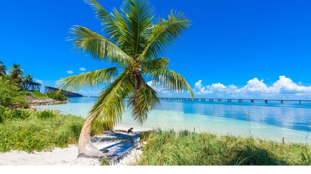
Rising water is one worry, and finding a parking spot on the sand is another.
Some of Florida's most famous beaches are the sand locals skip on purpose, and the shore they drive hours for sits somewhere else entirely.
7 Florida Beaches Locals Skip (and 4 They Drive Hours To Reach)
11 Summer Realities Florida Newcomers Underestimate
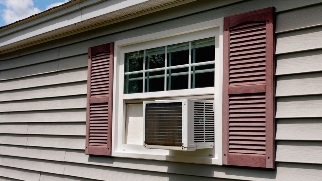
Florida newcomers hit their hardest lesson every July.
People move for the sunshine, and then the first real July sets the new arrivals straight.
