

5 Things Northern and Southern Hoosiers Will Never Agree On

Someone from northwest Indiana says they’re from the Region, and a Hoosier from the south asks what that means.
They’ve had conversations like that for a long time.
Here’s what northern and southern Hoosiers will never agree on.
1. Cubs or Reds
Ask around Indiana, and baseball loyalty tends to follow the map, with the Chicago Cubs in the north and the Cincinnati Reds toward the south.
A 2014 New York Times baseball map showed the Cubs dominating fan support in northwest Indiana, Chicagoist reported.
Hoosier History Live describes central Indiana as about evenly split between the Cubs and the Reds, with many fans in the Evansville area following the St. Louis Cardinals.
Axios Indianapolis calls the Reds the most popular team in the state and says the Cubs edge out the White Sox in popularity.
An Indiana Public Media report took the opposite view, citing an Indiana University lecturer who said a great deal of Indiana counts as Cubs territory.
Neither side has settled that one.
2. Where the Accent Changes
As you head south, Indiana’s accent changes, and the scholars who study it haven’t always put the line in the same place.
Scholars have split rural Indiana into two speech areas for more than a century.
A 1940 study found Southern speech reaching well above the middle of the state.
A 1971 study called the middle of the state a transition area.
A 1972 study put the dividing line roughly through the middle.
A 1981 study found mixed language characteristics there.
The experts split, too.
Settlers from the upland South moved into much of central Indiana between the War of 1812 and the Panic of 1837.
You’ll hear more y’all in southern Indiana, Indianapolis Monthly reported in January 2026.
Linguists put Indianapolis in the Midland region, where Northern and Southern speech patterns meet and mix.
Indiana University research suggests natives can sometimes pick up subtle speech differences within the Indianapolis area.
3. Snowfall
Snowfall splits Indiana from north to south because the north gets far more snow than the south.
South Bend’s normal snowfall is 66.6 inches a year and Evansville averages 12.1, in National Weather Service data for 1981 to 2010.
Indianapolis, in the middle, averages about 25.5 inches.
Lake Michigan drives the gap because lake-effect snow weakens the farther you get from the shore.
Parts of La Porte and St. Joseph counties can average more than 60 inches.
In intense winters, northwest Indiana can top 100 inches.
Ask around, and many people in South Bend and Evansville will describe a snowy winter very differently.
4. Dunes or Hills
Indiana’s outdoors comes in dunes and hills, and which one you prefer often depends on where in the state you grew up.
Indiana Dunes National Park sits on the southern shore of Lake Michigan.
It covers 16,268 acres and had 2,629,497 recreation visits in 2025.
Hoosier National Forest is in the hills of south central Indiana.
The U.S. Forest Service describes rolling hills, back-country trails and rural crossroad communities.
Beach or hills?
Many people in the north will take the dunes, and many in the south will take the forest.
5. The Region
The Region is what many people call northwest Indiana, a name tied to how close the area sits to Chicago.
Ask around in northwest Indiana, and you’ll hear “the Region” a lot of the time.
The Northwest Indiana Regional Planning Commission (NIRPC) treats Lake, Porter and La Porte counties as part of the Chicago metro area.
The commission compares the area’s jobs, earnings and output with the Chicago metro area’s.
The commission’s 2025 strategy lists the South Shore Line, a commuter rail line, among the area’s transportation assets.
The same plan calls Lake County the most industrialized area of northwest Indiana.
Some people in the south think of the Region as Chicago territory, and some in the Region would like you to remember it’s Indiana.
Both have a case.
Psst! How much do you know about Indiana’s map? Take our quiz and see how many you can get right.
Quiz
Indiana Map Smarts
Answer these questions on Indiana’s geography and history. We bet you can’t get them all right. Prove us wrong?
In what year did Indiana become a state?
Time Zones and Daylight Saving Time
Indiana's time zones depend on your county because the state sits across the line between Eastern and Central time.
Before 2006, five counties in the northwest, including Lake County, and five in the southwest already ran on Central time.
That year, the U.S. Department of Transportation moved eight counties from Eastern to Central time after their commissioners petitioned, though five of them later went back to Eastern.
Only Starke and Perry counties stayed on Central time.
Counties in the northwest corner made their case with ties to Chicago for media, transportation and business, while counties in the southwest pointed to Evansville.
The department decided not to move ten other counties, including St. Joseph and Lawrence, whose petition cited media from Indianapolis and Louisville.
The federal rule traces the line along county boundaries, so if you drive across Indiana, you can gain or lose an hour without leaving the state.
Daylight saving time is one clock fight Indiana settled in 2006.
Under state law, the Central-time counties observed daylight saving time for many years while most Eastern-time counties didn't.
A state law then put every county on daylight saving time, starting in 2006.
6 Things Indiana High School Basketball Families Need to Know Before the Season Starts

Once basketball season starts, family calendars fill up fast.
Hoosiers with a player on the team can save themselves some scrambling by sorting out a few things early.
6 Things Indiana High School Basketball Families Need to Know Before the Season Starts
5 Ways the Ohio River Divides Indiana and Kentucky
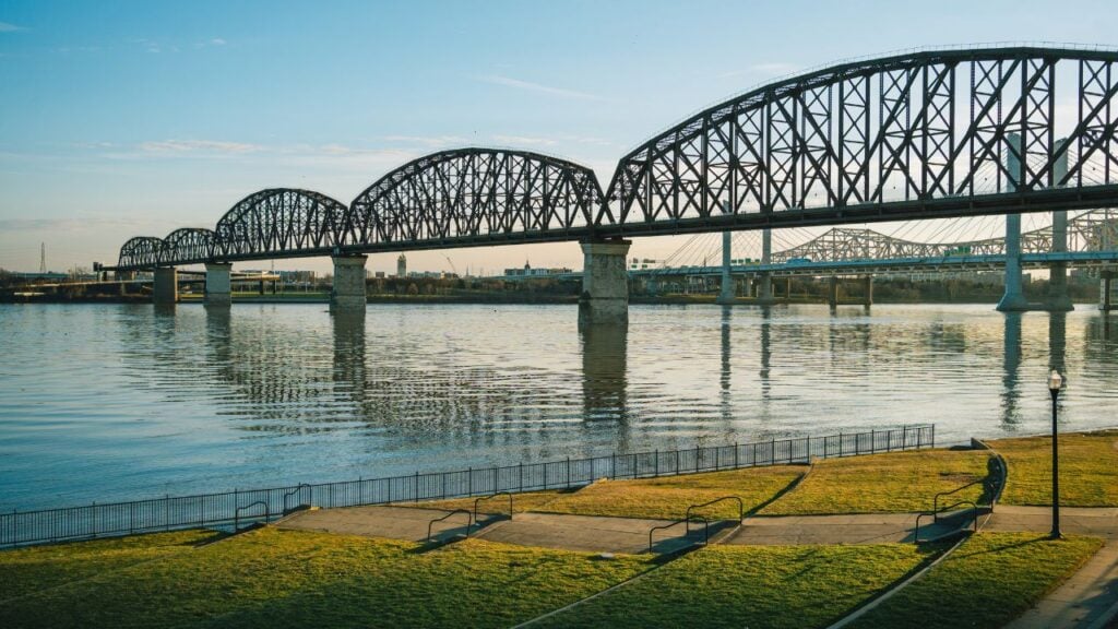
You can be halfway across the Ohio River, and nothing outside your window changes.
Hoosiers and Kentuckians can tell you what changes the moment you reach the other side.
