
12 Florida Roads Floridians Call by a Name That Isn’t the Route Number

Ask for directions in Florida, and you might hear a road name that isn’t on the sign.
Many go by nicknames and initials, and the route number gets left out.
Here’s what some of those names mean, so the directions you receive make sense.
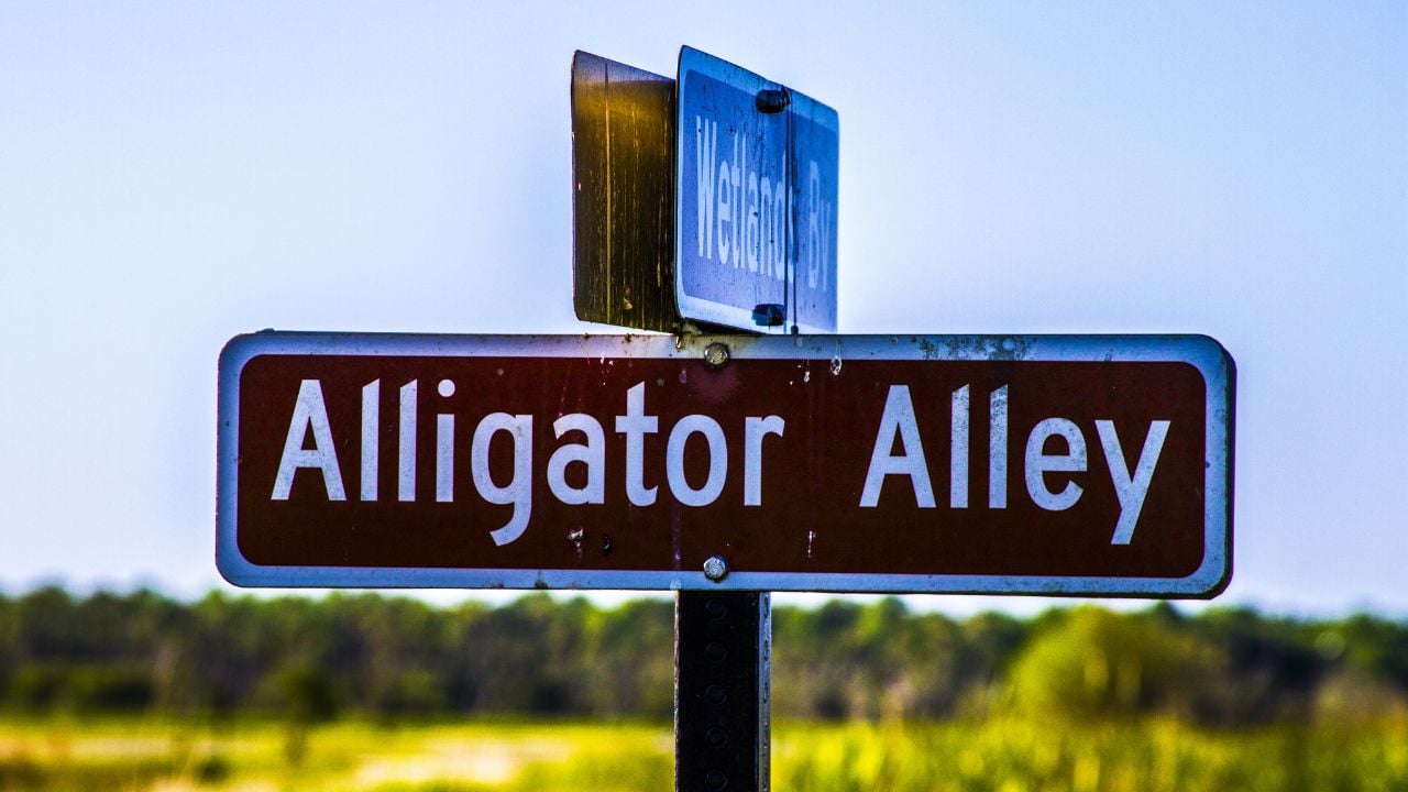
1. Alligator Alley
Alligator Alley shows up on a Florida Department of Transportation (FDOT) study page as I-75/S.R. 93/Alligator Alley, a corridor in Broward and Collier counties.
It has two route numbers.
Its limits are the Everglades Toll Plaza and the Alligator Alley West Toll Plaza.
The study plans for improvements through 2050.
FDOT describes the Alley as a transportation corridor through environmentally and culturally sensitive landscapes.
If someone tells you to take the Alley, I-75 and S.R. 93 are the numbers listed with the name.
2. Miami’s Palmetto
The Palmetto is the road an FDOT Miami-Dade project page lists as State Road 826/Palmetto Expressway.
Many Miami drivers drop the word Expressway and just say the Palmetto.
If you open the study, you’ll see the area start at US 1/State Road 5/Dixie Highway and end at Northwest 25th Street.
Its route number is 826.
3. Tamiami Trail
Tamiami Trail is a 264-mile roadway that the National Park Service says was completed in 1928 to connect Tampa and Miami.
If you check an FDOT project page for Miami-Dade County, you’ll find it listed as SR 90/Tamiami Trail/Southwest 8 Street.
That’s three labels.
The project covers repaving, restriping and sidewalk work between Southwest 27 Avenue and Southwest 2 Avenue.
It’s listed as completed.
4. Orlando’s Beachline
The Beachline is State Road 528, which the Central Florida Expressway Authority (CFX) lists as the Martin B. Andersen Beachline Expressway.
If you’re curious about its history, CFX calls it the first road on the expressway system, formerly known as the Bee Line Expressway.
The authority operates 23 miles of it, from Boggy Creek Road to State Road 520.
Florida’s Turnpike Enterprise operates the two ends and lists the Beachline Expressway as part of the Turnpike System.
5. Tampa’s Selmon
The Selmon Expressway is the road FDOT lists as State Road 618 on a study page for Hillsborough County.
The study runs from Florida Avenue to South 22nd Street.
The Tampa Hillsborough Expressway Authority (THEA) says it renamed the Crosstown the Lee Roy Selmon Expressway to honor a local legend.
If you’ve heard Crosstown, that’s the earlier name.
6. Dixie Highway
Dixie Highway is a road name that shows up in Miami-Dade County as S.R. 5/US 1/South Dixie Highway on an FDOT project page.
Its numbers are S.R. 5 and US 1.
The project is a safety improvement at Southwest 17 Avenue, and it’s listed as completed.
If you’re reading a Miami-Dade project notice, South Dixie Highway goes with those numbers.
7. Federal Highway
Federal Highway is the road name FDOT’s Fort Lauderdale project page pairs with SR 5/US-1.
The study looks at intersection alternatives at Federal Highway and Sunrise Boulevard that could reduce traffic congestion and delays.
If you compare the two pages, you’ll find the same SR 5 and US 1 numbers listed for Dixie Highway.
Psst! How much do you know about road names? Take our quiz and see if you can ace it.
Quiz
Road Name IQ
Answer these questions on road names and route numbers. We bet you can’t get them all right. Prove us wrong?
Florida’s Turnpike was originally known by which name?
8. Miami-Dade's HEFT
The Homestead Extension of Florida's Turnpike (HEFT) turns up in the title of a 2019 news item about new ramps along I-75.
Florida's Turnpike says the Extension ends near Homestead and is also known as State Road 821.
SR 821 is the number behind those initials.
The Extension is 47 miles long.
If you see SR 821 on a Turnpike page, you're reading about the HEFT.
9. U.S. 1's 18-Mile Stretch
The 18-Mile Stretch is the name Local 10 used for U.S. 1 between Florida City and Key Largo in a 2022 story.
If you're headed to Key Largo, U.S. 1 is the number behind the name.
FDOT's summary of public-private partnership projects also lists US 1 improvements in the 18-Mile Stretch.
In October 2024, Keys Weekly reported that FDOT planned nightly closures of U.S. 1 from Jewfish Creek Bridge to the Miami-Dade County line.
Traffic would detour to Card Sound Road.
The closures were set for 8 p.m. to 6 a.m. over a nine-month period.
10. Jacksonville's JTB
The road behind the initials JTB is J. Turner Butler Boulevard, and an Action News Jax headline uses JTB for a State Road 202 project.
The work runs from Belfort Road to Hodges Boulevard, according to FDOT.
A separate notice about the project names the road State Road 202 (J. Turner Butler Boulevard).
If you're looking up that project, you'll see both labels for it.
Psst! Can you tell which route numbers are right? Flip these cards and see if you can get all five.
11. Orlando's OBT
Orange Blossom Trail (OBT) is the road that turned up as initials in a November 2024 headline from an Orlando TV station.
The story under that headline spells out Orange Blossom Trail.
It covers the stretch between Holden Avenue and 34th Street.
If you look at FDOT's project page near Sand Lake Road, you'll see the road listed as SR 600/SR 500/US 441/US 17-92.
That's four route numbers for one stretch.
12. Orlando's JYP
John Young Parkway (JYP) is the road an FDOT project page lists as State Road 423.
If you read Orlando TV's May 2026 story about a crash, you'll see both JYP and John Young Parkway.
The FDOT page describes widening the road from four lanes to six.
The widening starts at State Road 50 (West Colonial Drive) and ends at Shader Road.
8 Florida Small Towns That Change Completely in October
Some Florida towns turn into somewhere else once the season changes.
It happens fast.
8 Florida Small Towns That Change Completely in October
7 Florida Rivers Floridians Refuse to Swim In
Not every Florida river is one you'll want to swim in.
The list might change where you take the kayak.
