
5 Arkansas Swimming Holes That Turn Dangerous After the First Fall Rain

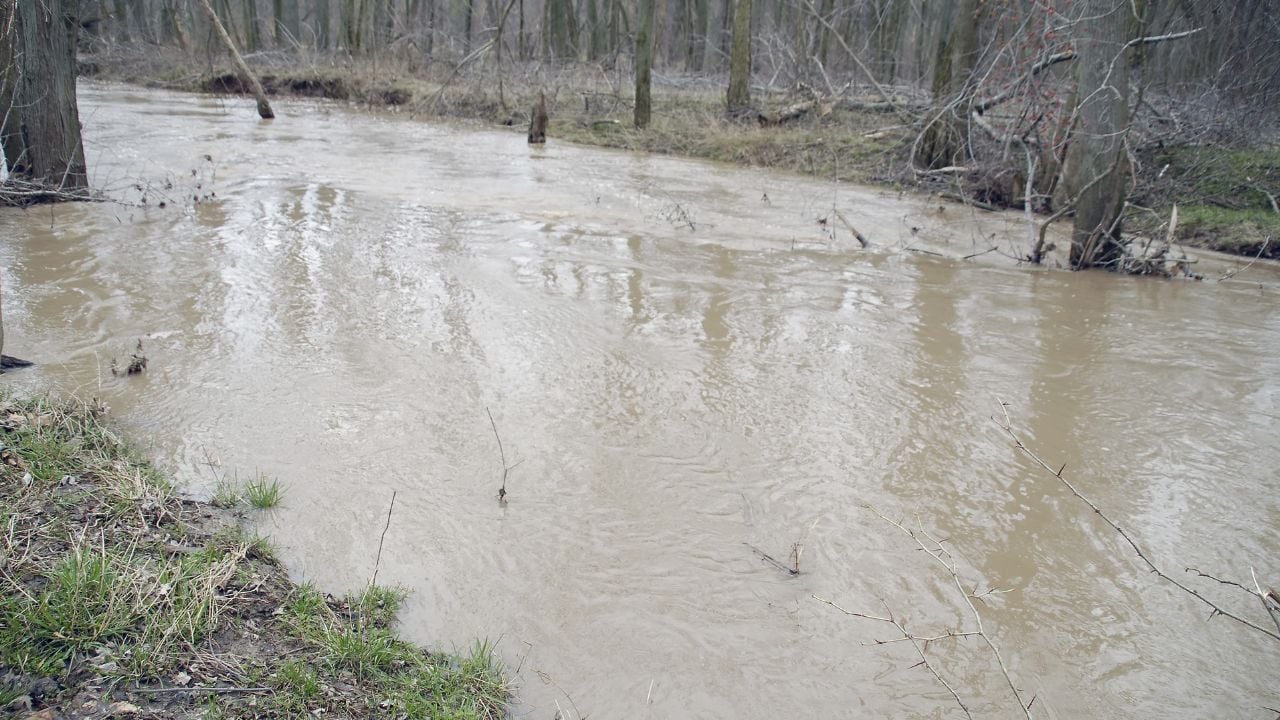
A storm two ridges over can turn an Arkansas swimming hole dangerous before a single drop of rain falls where a swimmer is.
These are the Arkansas swimming holes that turn dangerous after the first fall rain.
1. Mulberry River
The Mulberry River runs shallow enough by late summer that the Forest Service’s page for it calls the river a good spot to swim, wade, and look for smallmouth bass.
The same page says the best floating that time of year is on an air mattress.
A river calm enough to wade in August can be too dangerous to enter once October’s first storm passes through.
Forest Service guidance for the river doesn’t hedge: Heavy rain can turn the Mulberry into a rampaging torrent within hours.
Paddlers who track it watch a number instead of the sky: 2 to 4 feet on the gauge reads ideal, and 4.5 feet and up reads dangerous.
The Forest Service also tells campers to pitch a tent at least 100 feet back from the water, a rule built for exactly this kind of rise.
A dry gravel bar at noon can sit underwater by the time the sun goes down.
2. Steel Creek
Steel Creek is a popular swimming hole on the Buffalo National River, beneath bluffs tall enough to draw photographers from across the state.
Much of the year, the current barely moves past a swimmer’s knees.
That’s the danger.
The National Park Service’s safety guidance for the Buffalo National River warns that a storm in the park’s upper watershed can flood the river this far downstream.
Not a drop has to fall at Steel Creek.
A swimmer standing in ankle-deep water that afternoon would see nothing to warn them.
High, fast water also carries debris, and the Park Service says that leaves swimmers less time to react to a hazard they would otherwise spot coming.
Fall adds a second danger the water carries on its own: Cold.
The National Park Service warns that cold water and cold air combine to bring on hypothermia fast once someone gets wet.
An October storm can deliver both at once, the cold water and the cold air together.
The water that feels fine going in can still turn cold enough to matter by the time a swimmer climbs out.
How Little Water It Takes
Arkansas’s swimming holes don’t need to look like whitewater to turn dangerous.
The National Oceanic and Atmospheric Administration puts a number on it: six inches of fast-moving water is enough to knock an adult off their feet.
Twelve inches can carry off a car.
Two feet can lift a truck or a full-size vehicle and carry it downstream.
3. Cossatot River
The Cossatot River gets its name from the French cassé-tête, roughly “crushed head,” and the Encyclopedia of Arkansas ties that name directly to the severity of its rapids.
Rain is what turns the name literal.
The state park listing for the Cossatot describes Cossatot Falls building to Class V rapids once local rainfall fills the watershed.
A rocky wade at nine in the morning can be a churn of whitewater by early afternoon.
The river carries three named falls where that shows up hardest: Seven Falls, Sheep’s Den, and Cossatot Falls itself, the Encyclopedia of Arkansas notes.
Fall brings that same watershed its first test after a dry summer.
The season’s first heavy storm rolls through the Ouachitas, and the Cossatot answers within hours.
A pool calm enough to wade across in early fall can be unrunnable by the same week’s end once a storm moves through.
4. North Sylamore Creek
North Sylamore Creek stays open to swimmers every month of the year, running through the Blanchard Springs area of the Ozark-St. Francis National Forest.
The Forest Service’s day-use page invites swimmers in with one blunt line: “swim at your own risk.”
So why isn’t that warning boilerplate?
The Forest Service’s Sylamore Ranger District closed the trail alongside Barkshed, Gunner Pool, and the Blanchard Springs campground after 2025 storms pushed the creek out of its banks.
The district’s alert page now lists all five as reopened.
None of that resets once the calendar turns to fall.
The creek can rise the same way whether the rain falls in March or in the first cold front of October.
The clear water that makes North Sylamore Creek worth the drive is the same water that closed the trail the Forest Service worked to reopen.
Psst! How fall-swim-smart are you? Run through this checklist and see where you stand.
5. Kings River
The Kings River is a popular Arkansas swimming destination that winds about 90 miles through Madison and Carroll counties before it empties into Table Rock Lake.
The Encyclopedia of Arkansas puts up to 1,000 feet of relief in its Boston Mountains headwaters alone.
That’s steep for the Ozarks.
A river with that much drop above it doesn’t take long to answer a storm.
Regional paddling guides who track its gauge describe the Kings River as rain-fed and undammed through its float section.
Those guides say its levels swing hard with the season instead of holding steady.
Paddlers watch that same gauge for a different reason every fall.
A few good storms are what reset the river into floatable range in the first place.
Those same storms can wash out a gravel-bar swimming hole in an afternoon.
A gravel bar dry enough to sunbathe on this week might sit three feet underwater the next.
21 U.S. Landmarks That Don’t Live Up to the Hype for Arkansans (and Why)

Some famous spots look better in photos than they ever do in person, and America has no shortage of them.
Arkansans who’ve made the trip keep coming home with the same complaint: The landmark never matched the postcard.
21 U.S. Landmarks That Don’t Live Up to the Hype for Arkansans (and Why)
10 Amazing State Fairs Every Arkansan Needs to Experience

A road trip outside Arkansas to a state fair might be worth more than another weekend at home.
These fairs aren’t built for locals alone, and there’s usually a spot nearby to recharge once the last corn dog is gone.
