
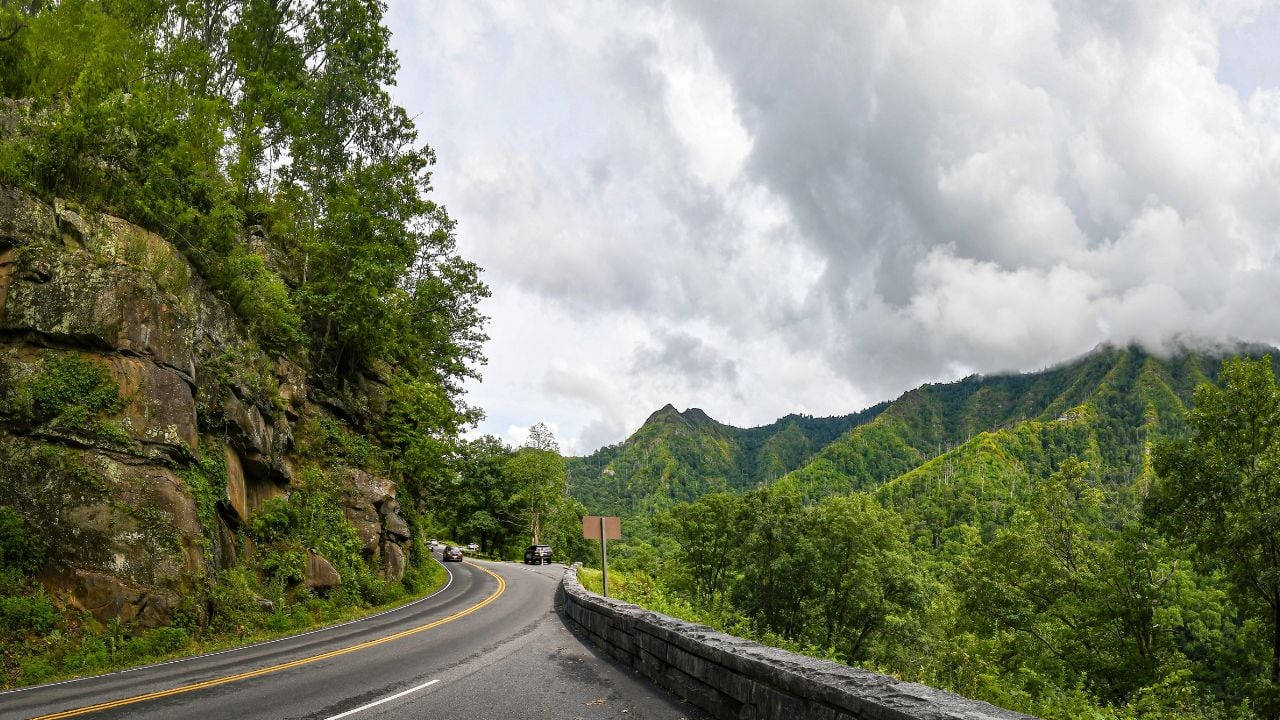
6 Tennessee Roads Many Locals Refuse to Drive After Dark

Would you drive Highway 129 through Blount County after dark?
It packs 318 curves into 11 miles, and not one foot of it is lit.
Motorcyclists call it the Tail of the Dragon. Tennesseans who live near it just call it a daytime road.
These are the Tennessee roads many locals refuse to drive after dark, and none of the reasons are made up.
1. Monteagle Mountain
Monteagle Mountain carries I-24 across the Cumberland Plateau between Nashville and Chattanooga, and the stretch near its flea market interchange has a reputation locals mention before you’ve even asked.
The Tennessee Department of Transportation (TDOT) logged 11 crashes there over a three-year span, mostly angle hits and side-swipes tied to nighttime traffic and fog thick enough to erase the road ahead.
Headlights barely help.
TDOT itself admits the fix has limits, saying new lighting will help but might not do quite enough in the fog.
TDOT had targeted 2026 to break ground on a redesign that consolidates two bridges into one and adds lighting, though local residents say that timeline already sounds like it’s slipping by a year.
Until then, many Tennesseans plan trips around Monteagle Mountain instead of over it once evening traffic sets in.
2. Ocoee Gorge
The Ocoee Gorge cuts a narrow path for Tennessee’s US-64 through Polk County, on a stretch TDOT’s own project files admit was never built for the traffic it handles today.
TDOT describes the corridor as having limited shoulder widths, no guardrails, poor sight distance, and sharp curves through rocky terrain prone to rockslides.
There’s no shoulder to pull onto.
There’s no guardrail to catch a mistake.
TDOT has a widening and guardrail project on the books, but it isn’t scheduled to start until fiscal year 2027.
That’s still years away.
The gorge road stays exactly as risky as it’s always been, and none of that gets easier once headlights are the only light on the ridge.
Many rafters who run the Ocoee River all summer still won’t run its road after the sun drops behind the ridge.
3. Tail of the Dragon
Tail of the Dragon squeezes 318 curves into 11 miles of Tennessee’s US-129 in Blount County.
Tennessee’s side of that stretch logged 165 crashes in just two years, 123 of them involving motorcycles.
Nine of those crashes were fatal, and every one of the dead was a rider.
It has no shoulder to bail onto and no lights once the sun sets.
Tennessee’s own highway safety office director has called the road difficult and dangerous to travel.
That’s the official word.
The state has run a joint safety campaign along it with North Carolina in recent summers.
Riders come from across the country to chase those curves in daylight, and many Blount County residents plan their errands around avoiding it once headlights become the only light left.
4. Newfound Gap Road
Newfound Gap Road reaches 5,046 feet at its highest point, the lowest drivable pass through the Great Smoky Mountains.
The National Park Service (NPS) puts it plainly: Precipitation falling as rain in Gatlinburg or Cherokee can be snow at the top.
Clear skies in town mean nothing up there.
The park service warns that its mountain roads run narrow and winding, with blind curves, steep drop-offs, and frequent wildlife crossings, and Newfound Gap Road carries the heaviest share of that traffic over the highest crossing in the park.
Snow and ice force a closure many winters, sometimes with only a few hours’ notice.
The notice is never long.
Many Sevier County locals check the forecast at the gap separately from the forecast in town because the two rarely match after dark.
Psst! How much do you know about Tennessee’s roads and history? Take our quiz and see how many you can get right.
Quiz
Tennessee Roads & History IQ
Answer these questions on Tennessee roads, geography, and history. We bet you can’t get them all right. Prove us wrong?
Long before a tunnel bypassed it, US-25E through the Cumberland Gap earned a grim nickname for its crash rate. What was it?
5. Natchez Trace Parkway
Natchez Trace Parkway runs almost the length of Middle Tennessee, and park rangers have found that crash rates run three times higher after dark than they do in daylight.
About a third of the parkway's serious injury and fatal crashes happen at night, even though nighttime carries the least traffic of the day.
The park service's own safety page is direct about why: The parkway's lanes run narrower than a normal road, and the route carries little to no shoulder for long stretches at a time.
Deer add to it.
A parkway chief ranger has pointed to deer activity picking up in fall and winter, exactly when the days get shorter and more driving happens in the dark.
Why Swerving on Tennessee Roads Makes It Worse
Tennessee Wildlife Resources Agency (TWRA) officers give the same advice on Tennessee's roads after almost every deer strike: Don't swerve.
Swerving off a dark road risks a head-on hit with another car or a run into the trees, and either one usually turns out worse than hitting the deer would have.
One TWRA sergeant adds a second warning worth remembering: If you see one deer cross, more are usually right behind it.
6. Ochs Highway
Ochs Highway climbs Lookout Mountain on a road built in the 1930s, long before anyone designed a highway with buses or big rigs in mind.
Residents counted seven fatal accidents on Ochs Highway over ten years, including two neighbors lost within a single two-year stretch.
The road bends through at least three sharp curves too tight for a large vehicle's wheelbase, with the worst one waiting at the bottom of the mountain.
GPS keeps making it worse.
In July 2026, truck wrecks shut down all three of Lookout Mountain's access roads on the same morning, leaving the town with no way in for emergency crews coming from Chattanooga.
Lookout Mountain's own city government can't fix Ochs Highway alone.
Chattanooga and TDOT share control of it up to the state line, and Georgia takes over from there.
For now, the town's best fix is asking the state for oversized warning signs and pushing trucking companies to load commercial-grade GPS instead of whatever app sends a driver up the nearest mountain.
Longtime residents already know which curve to creep around after dark, and they're not shy about warning a new neighbor before that neighbor learns it the hard way.
9 Tennessee Foods and Drinks That Confuse Anyone Who Didn't Grow Up With Them

Tennessee shares a border with eight other states, tied with Missouri for the most of any state in the country.
Certain foods and drinks change at nearly every one of those lines, and a dish that's second nature in Memphis can draw a blank stare two hours up the road in Nashville.
9 Tennessee Foods and Drinks That Confuse Anyone Who Didn't Grow Up With Them
9 Tennessee Mountain Towns Locals Hope Tourists Never Find
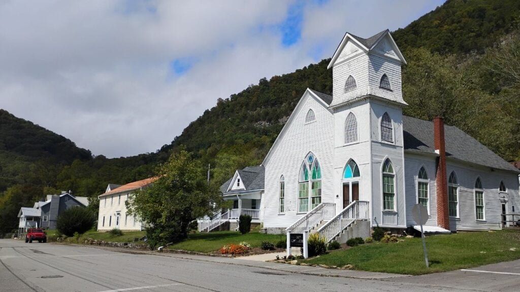
Ask a new arrival to name a Tennessee mountain town, and the same three answers come up almost every time, all three sitting on one stretch of US-441.
Tennessee's mountain country runs from the Georgia line to the Virginia line, and the towns worth a tank of gas sit nowhere near that strip.
