
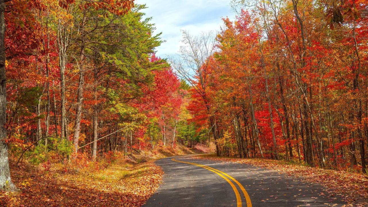
8 Tennessee Mountain Roads That Are a Mistake to Book for Leaf Season

A National Park Service crew locks two Tennessee mountain gates every November 9, leaf color or not.
Many leaf-peepers never see it coming.
East Tennessee’s color often keeps deepening at the lower elevations into late October, but the calendar on these gates doesn’t wait for it to finish.
These are the Tennessee mountain roads that are a mistake to book for leaf season.
1. Cades Cove Loop Road
Cades Cove Loop Road is an 11-mile mountain loop and one of the most visited destinations in Great Smoky Mountains National Park.
A park spokesperson told Knoxville TV station WBIR in 2020 that the loop moves more than 2 million visits a year through roughly 100 parking spaces.
Vehicle lines have backed up three to four miles at the entrance gate during peak hours.
Leaf season is peak hours.
The park already closes the loop to cars every Wednesday, all day, from May through September, a schedule the Park Service adopted because the crowding had grown unmanageable.
That relief valve shuts off right before leaf season opens.
Bad timing, every year.
Book a stay expecting a quick morning loop, and eleven miles of one-way pavement can eat half the day instead.
2. Roaring Fork Motor Nature Trail
Roaring Fork Motor Nature Trail is a one-way mountain road that winds narrow through some of the park’s steepest terrain.
The National Park Service built the route as a self-guided tour past preserved log cabins from the old Roaring Fork community.
That history is exactly why it was never meant to carry heavy traffic.
Narrow was the point.
The trail closes for the season on November 29.
A trip booked for early November usually beats that date.
One that slides toward Thanksgiving can meet a locked gate instead of the view.
3. Rich Mountain Road
Rich Mountain Road runs one-way and unpaved for its entire length above Cades Cove.
Many drivers use it as a shortcut out of the cove toward Townsend, skipping a second lap of the crowded loop below.
The National Park Service closes the gate for the season on November 9, right in the middle of the weeks East Tennessee’s lower elevations typically hit peak color.
A trip timed for late-peak color can arrive to find the shortcut already shut for winter.
The closing date doesn’t move.
4. Parson Branch Road
Parson Branch Road shares Rich Mountain’s one-way, gravel setup, but its risk goes beyond a single closing date.
The National Park Service shut the eight-mile road down in 2016 after more than 1,700 dead hemlock trees along the corridor turned into a falling hazard.
Six leaf seasons came and went with no announced date to reopen it.
It reopened in 2022.
A trip booked around Parson Branch isn’t just racing a scheduled gate.
It’s betting the road exists that year at all, a bet six straight leaf seasons would have lost.
The 25-Foot Rule That Shuts Out Campers
Three roads on this list, Roaring Fork, Rich Mountain, and Parson Branch, share one National Park Service rule that has nothing to do with any calendar.
The Park Service bans any motor home, bus, or vehicle towing a trailer over 25 feet long from all three routes, year-round.
A leaf-season trip planned around a rented camper can lose access to three of the eight roads on this list before a single gate ever closes for winter.
5. Kuwohi Road
Kuwohi Road, still marked on many maps as Clingmans Dome Road, is the mountain route that climbs to the tallest peak in the park.
The National Park Service closes the gate for the season on November 29.
A half-mile paved path from the parking area rises steeply, and the small lot fills fast once the leaves turn.
Weather turns fast up there.
A clear morning at the visitor center can turn into fog or an early flurry by the time a car reaches the summit lot.
That risk only grows as the season pushes toward its late-November closing date.
6. Foothills Parkway
Foothills Parkway isn’t one continuous mountain road, no matter what a map search suggests.
The National Park Service has finished only two disconnected stretches of the originally planned 72-mile route.
The stretch from Chilhowee Lake through Walland to Wears Valley runs about 33 miles, and a separate six-mile stretch sits near Cosby.
The two don’t connect.
Driving both stretches in one day means leaving the Wears Valley end and backtracking onto US-321 through Pigeon Forge and Gatlinburg to reach the Cosby side.
That’s the same corridor already jammed with leaf-season traffic headed into Gatlinburg and Pigeon Forge.
A backtrack that costs a few extra minutes the rest of the year turns into lost time in the exact weeks the leaves are turning.
7. Cherohala Skyway
Cherohala Skyway is a mountain route that climbs above 5,000 feet for miles at a stretch between Tellico Plains, Tennessee, and Robbinsville, North Carolina.
No gas station or store sits along more than 43 miles of that pavement.
There’s nothing to fuel either.
The Skyway’s site reports snow arriving as early as Halloween some years.
North Carolina plows its side of the Skyway.
Tennessee doesn’t plow its side the same way, so an early cold snap during leaf season can turn a scenic drive into a hazard fast.
Psst! How much do you know about Tennessee’s mountain roads and high country? Take our quiz and see how many you can get right.
Quiz
Tennessee Mountain IQ
Answer these questions on Tennessee’s mountain roads and high country. We bet you can’t get them all right. Prove us wrong?
In 2024, Clingmans Dome officially reclaimed its Cherokee name. What does ‘Kuwohi’ mean?
8. Tail of the Dragon
Tail of the Dragon is an 11-mile mountain road packed with 318 curves along U.S. 129 on the Tennessee-North Carolina line.
The Blount County Sheriff's Office told WBIR that the road has logged 93 crashes since January 2022, including 42 that injured 57 people and two deaths.
A driver who drifts wide has nowhere to go.
One mistake is enough.
Weekend leaf-season traffic adds slow-moving sightseers to a road built for motorcyclists testing every one of those curves at speed.
Wet fallen leaves can make asphalt slick as ice, and this stretch has no shortage of either every fall.
Riders and drivers who treat those curves like a summer afternoon are exactly who the sheriff's office keeps pulling over for going too fast for conditions.
6 Tennessee Roads Many Locals Refuse to Drive After Dark
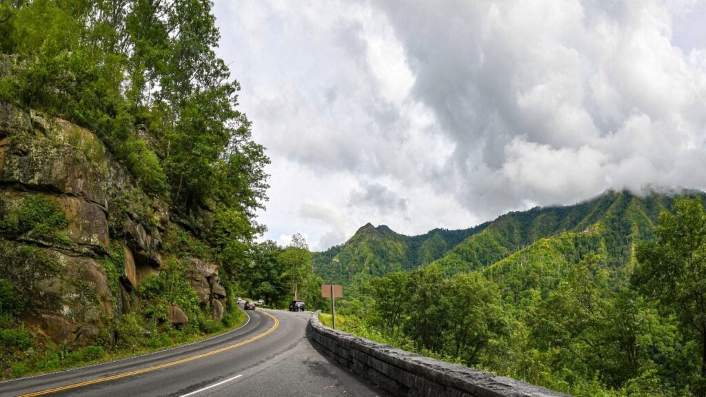
The Tail of the Dragon isn't the only Tennessee road that changes character once the sun goes down.
Some routes carry a reputation locals only bring up after dark, and a few of them cross paths with the roads on this list.
6 Tennessee Roads Many Locals Refuse to Drive After Dark
7 Headaches Tennessee's Two Time Zones Cause Residents Every Year

Planning a mountain road trip across East Tennessee carries a timing trap that has nothing to do with a park gate.
A time zone line cuts through the middle of the state, and it catches travelers who never think to check it.
7 Headaches Tennessee's Two Time Zones Cause Residents Every Year
