
9 Arizona Day Trips That Are Miserable Until the Heat Breaks

Think you can hike into the Grand Canyon in August and tough it out?
The National Park Service tells hikers to stay off the inner canyon between 10 a.m. and 4 p.m. in the summer, when the canyon floor can run up to 30 degrees hotter than the rim.
That gap has cost hikers their lives.
These are the Arizona day trips that are miserable until the heat breaks.
Sedona
Sedona’s red rock earns every one of its postcards, right up until summer turns the same trails into a furnace.
Cathedral Rock and Devil’s Bridge sit almost completely exposed, with barely a scrap of shade anywhere along the climb.
Local guides tell hikers to start before 7 a.m. if they want any shot at beating the heat.
Miss that window and the sun takes over fast.
Sedona’s monsoon storms roll through many afternoons in July and August, too, stacking lightning risk on top of the heat.
Wait it out.
By October, Cathedral Rock’s trailhead parking lot fills with hikers arriving well past 7 a.m., no longer racing the sun to beat the heat.
Grand Canyon
Grand Canyon’s inner canyon trails turn from postcard hikes into a genuine hazard once summer temperatures peak.
The National Park Service tells hikers to skip the inner canyon entirely between 10 a.m. and 4 p.m., when the canyon floor can run 15 to 30 degrees hotter than the rim.
That gap adds up fast.
A rim that reads 100 degrees can mean a canyon floor past 115.
At least four hikers died on Grand Canyon trails in one recent June, every death tied to heat.
Rescue helicopters can’t always fly in that kind of heat, either.
By November, the 15-to-30-degree gap between the rim and the canyon floor narrows to almost nothing.
Antelope Canyon
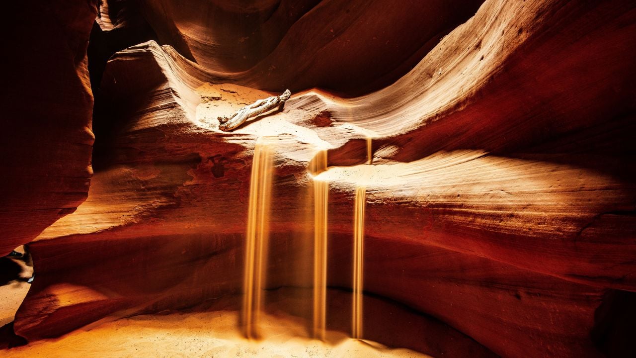
Antelope Canyon draws photographers from all over the world, and summer is exactly when it turns unpredictable.
The slot canyon near Page sits inside Arizona’s official monsoon season, which runs from mid-June through the end of September, the exact stretch that bakes the rest of the state.
Storms don’t even need to touch the canyon to flood it.
In 1997, a thunderstorm building fifteen miles away sent a wall of water through Lower Antelope Canyon and killed 11 tourists.
Not a drop fell.
Tour operators still close the canyon on short notice whenever storm cells build anywhere nearby, so a booked slot can vanish with no rain in the forecast.
The monsoon officially ends September 30, the same week Arizona’s afternoon highs finally slip out of the triple digits.
Why So Many Trips Get Risky at Once
Arizona’s monsoon season runs on a fixed calendar, not a storm-by-storm guess.
The National Weather Service picked the same start and end dates back in 2008, so the window never shifts from year to year.
Storm frequency peaks in just one stretch inside that window, mid-July through mid-August.
That’s the same stretch that puts Antelope Canyon’s flash-flood risk at its worst, along with several other Arizona day trips.
Superstition Mountains
Superstition Mountains sit less than an hour from Phoenix, which is exactly why so many underprepared hikers end up in trouble there.
Summer temperatures in the range climb past 115 degrees, and the terrain doesn’t forgive mistakes.
A hiker died near the range during one recent stretch of extreme heat, with four others needing rescue off the same trail.
That’s not rare out there.
Rangers recommend carrying at least a gallon of water per person for a single day on trails like Peralta, which climbs toward Weaver’s Needle with almost no cover.
Many hikers don’t carry that much.
By November, Peralta Trail’s parking lot fills again with hikers carrying more water than they need, not less.
Tombstone
Tombstone built its whole identity on the Old West.
That means walking tours across open dirt streets with zero shade.
Allen Street’s wooden boardwalks sit fully exposed to the sun, and the gunfight reenactments run outdoors in the middle of the afternoon.
AccuWeather puts Tombstone’s July average high close to 99 degrees, right in the middle of the region’s summer monsoon stretch.
Afternoon storms add humidity on top of it, and visitors packed into the historic buildings, many without modern air conditioning, feel it fast.
Fast is an understatement.
Tourists still show up in flip-flops anyway.
By November, Tombstone’s afternoon highs drop into the 70s, cool enough for the boardwalks to feel normal again.
Psst! Wondering how much water a trip like one of these takes? Plug in your numbers below and see your target for the day.
Lake Havasu City
Lake Havasu City holds Arizona’s all-time heat record.
The number still stuns people who hear it for the first time.
The thermometer hit 128 degrees there on June 29, 1994.
That’s not a typo.
July still averages well over 100 degrees on many afternoons today.
Walking the London Bridge district at midday in July means direct sun on pavement that radiates heat back up at you from both directions.
Boats on the lake at least catch a breeze.
Pedestrians on the bridge don’t.
By November, pedestrians cross London Bridge at noon without hugging the shade line on the western side.
Meteor Crater
Meteor Crater near Winslow sits out in open high desert with nothing around it to block the sun.
The rim trail circles the crater at 5,640 feet of elevation, and thinner air at that height lets stronger, more direct sunlight through than a hiker would feel at sea level.
There’s almost no shade anywhere along the 2.5-mile loop.
Staff recommend the early morning or the last hour before close, since summer hours run from 7 a.m. to 7 p.m. between Memorial Day and mid-September.
Midday is a different story.
Wind off the open rim adds another problem, since it can push an unsteady hiker off balance right at the edge.
Once mid-September passes, Meteor Crater’s 7 a.m.-to-7 p.m. summer hours end, and the whole day works for the 2.5-mile rim loop again.
Saguaro National Park
Saguaro National Park splits into two districts around Tucson, and summer turns both into a serious test of planning.
Daytime highs run from the mid-90s to the low 110s between June and September, with almost no tree cover among the cactus forest.
Saguaros are built for that heat.
People aren’t.
The park even shortens its hours every summer, running 8 a.m. to 4 p.m. instead of the usual 9 to 5, to nudge visitors toward cooler parts of the day.
July and August add monsoon storms on top of the heat, turning dry washes into flash-flood risks within minutes.
By October, the cactus forest’s dry washes run just as dry, minus the flash-flood warnings that came with them all summer.
Canyon de Chelly
Canyon de Chelly cuts through Navajo Nation land in northeastern Arizona, and its one unguided trail turns brutal fast in summer.
The White House Trail is the only route visitors can hike without a Navajo guide, dropping roughly 600 feet into the canyon over a 2.5-mile round trip with almost no shade.
Going down is the easy part.
The climb back out happens in full sun, usually right when the day’s heat peaks.
No shade up there either.
The White House Trail’s 600-foot climb out stays exactly the same length year-round; only the temperature at the top changes.
When Arizona’s Heat Breaks
Arizona’s day trips don’t all cool off on the same afternoon, but the shift follows a predictable pattern.
Phoenix’s average daily high falls from around 100 degrees in early September to close to 90 by early October, then keeps sliding through the month.
That drop isn’t random.
The sun sits lower in the sky as fall approaches, so the ground simply can’t bank the same heat it did in July.
Higher-elevation stops like Sedona and Meteor Crater cool off first, sometimes by late September, while low-desert spots like Lake Havasu City and Tucson lag a few weeks behind.
Elevation matters as much as the calendar.
That’s why a Sedona hike and a Lake Havasu City afternoon almost never come back into season on the same weekend.
Flagstaff and the high country around Sedona often see their first cool mornings by mid-September, a full month before the low desert around Phoenix and Tucson catches up.
That gap is why some of these day trips start feeling normal again while others are still running the ceiling fans past dinner.
Psst! How much do you know about Arizona’s desert and heat trivia? Take our quiz and see how many you can get right.
Quiz
Arizona Desert IQ
Answer these questions on Arizona’s desert history and heat trivia. We bet you can’t get them all right. Prove us wrong?
Lake Havasu City’s London Bridge is a famous photo stop. Where did the actual bridge come from?
9 Things That Confuse First-Time Visitors to Arizona
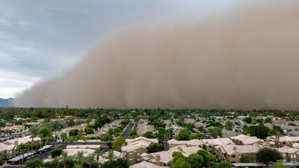
Cactus and sunshine only cover the basics of what first-time visitors picture before they land in Arizona.
Arizona comes with a handful of surprises past that first impression, and a couple of them can send an unprepared visitor straight to the hospital.
9 Things That Confuse First-Time Visitors to Arizona
12 Things Arizona Boomers Say Without Realizing They're Offensive Nowadays

A hiking group can pull into a trailhead north of Phoenix and still call it by an old name, even though the sign has read Piestewa Peak for years.
That's just one of the phrases Arizona boomers keep saying without realizing it turned offensive somewhere along the way.
12 Things Arizona Boomers Say Without Realizing They're Offensive Nowadays
